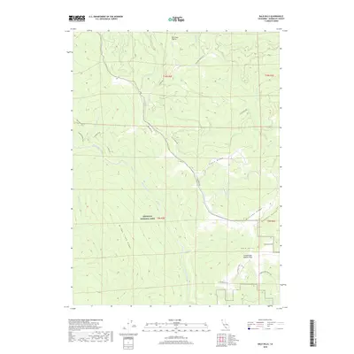
2018 Map of Bald Hills
USGS Topo · Published 2018About this map
Redwood National Park dominates this terrain, where the steep canyons of Redwood Creek and its many tributaries carve through the Coast Range. The map illustrates a complex network of ridgelines, including Bridge Creek Ridge and Williams Ridge, that define the local drainage patterns. Evidence of human activity and ranching history is found in names like Pitt Place Prairie and the Lyons Ranch Trail in the southern portion of the quadrangle. High points such as Schoolhouse Peak and unique formations like Schoolhouse Pasture Rock overlook the namesake Bald Hills. This 2018 survey also tracks modern recreational access, including the Tall Trees Trail and the Coyote Creek Bike Loop, highlighting the balance between wilderness preservation and public land use in this part of Humboldt County.
Find a feature on this map
31 named features on this map. Tap any name to fly to it.
Don’t see what you’re looking for? This feature index may not catch every label — zoom into the map to look around manually.
Map Details
Editions of this 2018 Bald Hills Map
This is the sole edition of this map. No revisions or reprints were ever made.
Other maps of this area

1925 · Hoopa
USGS Topo · 1:125,000

1945 · Orick
USGS Topo · 1:62,500

1945 · Trinidad
USGS Topo · 1:62,500

1945 · Coyote Peak
USGS Topo · 1:62,500

1945 · Tectah Creek
USGS Topo · 1:62,500

1948 · Weed
USGS Topo · 1:250,000

1949 · Eureka
USGS Topo · 1:250,000

1950 · Weed
USGS Topo · 1:250,000
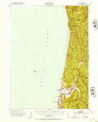
1952 · Orick
USGS Topo · 1:62,500

1952 · Coyote Peak
USGS Topo · 1:62,500