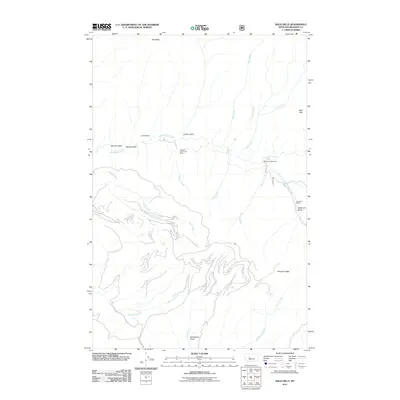
2011 Map of Bald Hills
USGS Topo · Published 2011About this map
Tenderfoot Creek and its many tributaries, including Daisy Creek and Mongan Creek, define the drainage patterns of this Meagher County landscape. The topography is dominated by the high elevations of Old Baldy and the Bald Hills, with the dramatic Rimrock Ridge overlooking the southern drainages. Evidence of the region's ranching and resource extraction history is visible in the placement of the Zehntner Ranch near the South Fork Tenderfoot Creek and specialized mining sites like the Ducolon-Potter Mine.
Find a feature on this map
25 named features on this map. Tap any name to fly to it.
Don’t see what you’re looking for? This feature index may not catch every label — zoom into the map to look around manually.
Map Details
Editions of this 2011 Bald Hills Map
This is the sole edition of this map. No revisions or reprints were ever made.
Other maps of this area

1886 · Great Falls
USGS Topo · 1:250,000

1886 · Fort Logan
USGS Topo · 1:250,000

1948 · White Sulphur Springs
USGS Topo · 1:250,000

1954 · Great Falls
USGS Topo · 1:250,000

1957 · Great Falls
USGS Topo · 1:250,000

1958 · White Sulphur Springs
USGS Topo · 1:250,000

1961 · White Sulphur Springs
USGS Topo · 1:250,000

1965 · White Sulphur Springs
USGS Topo · 1:250,000

1966 · Lingshire NE
USGS Topo · 1:24,000
1966 · Ellis Canyon
USGS Topo · 1:24,000