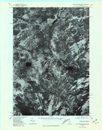
1977 Map of Bald Mountain Pond
USGS Topo · Published 1981About this map
Shirley Mills sits in the northeast corner of this remote Maine landscape, where the West Branch Piscataquis River winds southward through dense timberlands. This 1977 orthophotoquad captures the raw terrain of Piscataquis County, centered on the prominent heights of Bald Mountain and Blue Top. The imagery reveals a complex drainage network, where Big Bennet Brook and Bald Mountain Stream feed into the river system.
Find a feature on this map
9 named features on this map. Tap any name to fly to it.
Don’t see what you’re looking for? This feature index may not catch every label — zoom into the map to look around manually.
Map Details
Editions of this 1977 Bald Mountain Pond Map
This is the sole edition of this map. No revisions or reprints were ever made.
Other maps of this area

1903 · Bingham
USGS Topo · 1:62,500

1905 · Bingham
USGS Topo · 1:62,500

1905 · The Forks
USGS Topo · 1:62,500

1907 · The Forks
USGS Topo · 1:62,500

1948 · Kingsbury
USGS Topo · 1:62,500

1950 · Kingsbury
USGS Topo · 1:62,500

1951 · Greenville
USGS Topo · 1:62,500

1954 · Millinocket
USGS Topo · 1:250,000

1956 · The Forks
USGS Topo · 1:62,500

1956 · Bingham
USGS Topo · 1:62,500
Featured Places
- Shirley, ME
- Blanchard Township, ME
- East Moxie Township, ME
- Bald Mountain Township, ME
- Somerset County, ME