
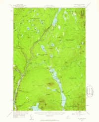
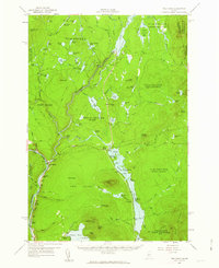
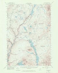
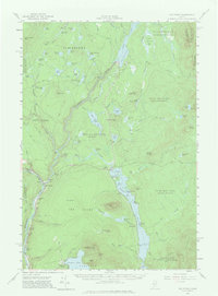
1956 Map of The Forks
USGS Topo · Published 1961About this map
The confluence of the Kennebec River and the Dead River anchors this mid-century survey of the Maine wilderness, centered on the small community of The Forks. This landscape is defined by its industrial water management and natural elevation, featuring the Harris Dam upstream and the dramatic Moxie Falls to the east. The map captures a transition in the local economy, where traditional logging and river work met the development of recreational and hydroelectric infrastructure. Notable points of interest include the Franklin Sch south of the main settlement and the hamlet of Troutdale situated along the shores of Mosquito Pond. The terrain is characterized by a dense network of water bodies like Lake Moxie and Pleasant Pond Mtn, connected by a series of trails and early roads such as the Shirley Road, illustrating how residents and industry navigated the complex topography of The Forks township and surrounding unorganized territories.
Find a feature on this map
89 named features on this map. Tap any name to fly to it.
Don’t see what you’re looking for? This feature index may not catch every label — zoom into the map to look around manually.
Map Details
Editions of this 1956 The Forks Map
5 editions found
Other maps of this area

1903 · Bingham
USGS Topo · 1:62,500

1905 · Bingham
USGS Topo · 1:62,500

1905 · The Forks
USGS Topo · 1:62,500

1907 · The Forks
USGS Topo · 1:62,500

1920 · Moosehead Lake
USGS Topo · 1:62,500

1921 · Brassua Lake
USGS Topo · 1:62,500

1922 · Moosehead Lake
USGS Topo · 1:62,500

1922 · Long Pond
USGS Topo · 1:62,500

1923 · Brassua Lake
USGS Topo · 1:62,500

1924 · Long Pond
USGS Topo · 1:62,500