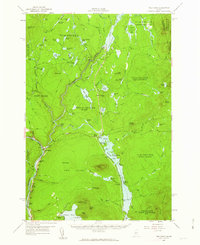
1956 Map of The Forks
USGS Topo · Published 1963About this map
The Kennebec River corridor defines the geography of this mid-1950s survey, showing the confluence that gives The Forks its name. The map documents the hydroelectric and industrial infrastructure of the era, anchored by the Harris Dam on Indian Pond and a Gaging Sta downstream. To the south, the settlement at Lake Moxie and the small siding at Troutdale are connected by the rail line winding along the water's edge, while the Franklin Sch serves the local community near the river junction.
Find a feature on this map
98 named features on this map. Tap any name to fly to it.
Don’t see what you’re looking for? This feature index may not catch every label — zoom into the map to look around manually.
Map Details
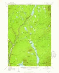
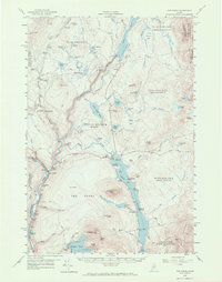
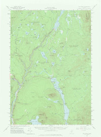
Editions of this 1956 The Forks Map
5 editions found

Other maps of this area

1903 · Bingham
USGS Topo · 1:62,500

1905 · Bingham
USGS Topo · 1:62,500

1905 · The Forks
USGS Topo · 1:62,500

1907 · The Forks
USGS Topo · 1:62,500

1920 · Moosehead Lake
USGS Topo · 1:62,500

1921 · Brassua Lake
USGS Topo · 1:62,500

1922 · Moosehead Lake
USGS Topo · 1:62,500

1922 · Long Pond
USGS Topo · 1:62,500

1923 · Brassua Lake
USGS Topo · 1:62,500

1924 · Long Pond
USGS Topo · 1:62,500