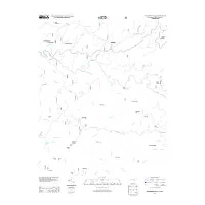
2013 Map of Bald River Falls
USGS Topo · Published 2013About this map
Waucheesi Mountain dominates the southern reaches of this Monroe County landscape, crowned by the Waucheesi Fire Tower at its summit. This 2013 survey of the Tennessee-North Carolina border country depicts a terrain defined by steep ridges and deep coves, where the Tellico River and Bald River carve through the Unicoi Mountains. The presence of Old Furnace Rd and the Miller Mine Br point to historical industrial activity in these hills, while family and descriptive names like Henson Mountain, Papaw Cove, and Mule Pen Gap suggest early settlement patterns and livestock routes through the highlands. A complex network of Forest Service roads, including White Oak Flat Rd and Rafter RD, provides access to landmarks like the Tellico River Roadside Picnic Area, highlighting the area's modern role as a center for forest recreation.
Find a feature on this map
110 named features on this map. Tap any name to fly to it.
Don’t see what you’re looking for? This feature index may not catch every label — zoom into the map to look around manually.
Map Details
Editions of this 2013 Bald River Falls Map
This is the sole edition of this map. No revisions or reprints were ever made.
Other maps of this area

1893 · Murphy
USGS Topo · 1:125,000

1914 · Murphy
USGS Topo · 1:125,000

1927 · Big Junction
USGS Topo · 1:24,000

1933 · Haw Knob
USGS Topo · 1:48,000

1933 · Whiteoak Flats
USGS Topo · 1:24,000

1933 · Bald River Falls
USGS Topo · 1:24,000

1933 · Rafter
USGS Topo · 1:24,000

1934 · Mount Vernon
USGS Topo · 1:24,000

1934 · McDaniel Bald
USGS Topo · 1:24,000

1934 · Unaka
USGS Topo · 1:24,000