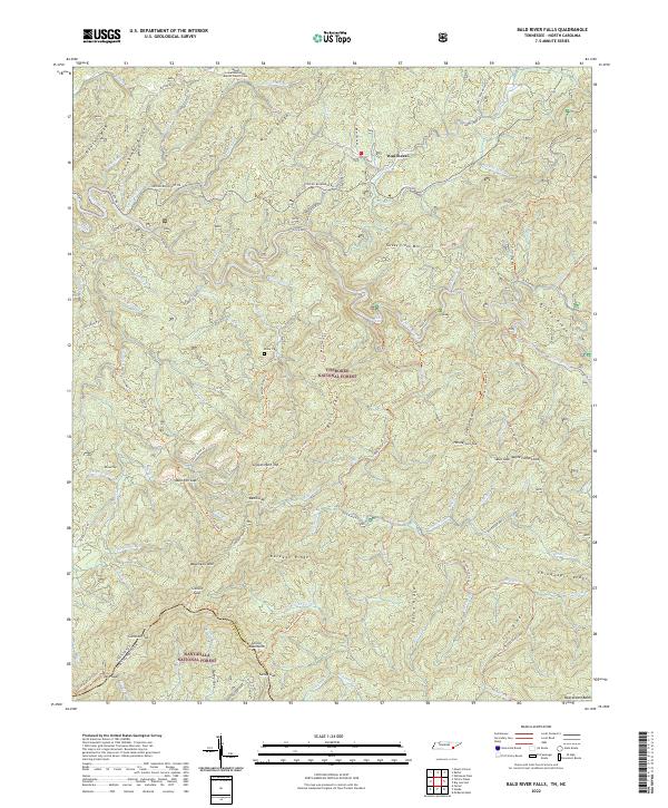
2022 Map of Bald River Falls
USGS Topo · Published 2022About this map
Waucheesi stands as a focal point in this mountainous corridor where the Cherokee National Forest and Nantahala National Forest meet along the Tennessee-North Carolina border. The high ridgelines of the Unicoi Mountains and Buckeye Ridge dominate the landscape, carved by the Tellico River and its numerous tributaries. Cultural history is preserved in sites like the Mount Isabel Missionary Baptist Church Cem and the Miller Cem, which sit alongside evidence of former industry such as Miller Mine Br and Old Furnace Rd. The map documents a network of historic pathways, including the Benton Mckaye Trl and Warriors Passage Trl, tracing the same steep gaps and coves used for generations, from Mule-Pen Gap to the remote heights of Gravelstand Top.
Find a feature on this map
104 named features on this map. Tap any name to fly to it.
Don’t see what you’re looking for? This feature index may not catch every label — zoom into the map to look around manually.
Map Details
Editions of this 2022 Bald River Falls Map
This is the sole edition of this map. No revisions or reprints were ever made.
Other maps of this area

1893 · Murphy
USGS Topo · 1:125,000

1914 · Murphy
USGS Topo · 1:125,000

1927 · Big Junction
USGS Topo · 1:24,000

1933 · Haw Knob
USGS Topo · 1:48,000

1933 · Whiteoak Flats
USGS Topo · 1:24,000

1933 · Bald River Falls
USGS Topo · 1:24,000

1933 · Rafter
USGS Topo · 1:24,000

1934 · Mount Vernon
USGS Topo · 1:24,000

1934 · McDaniel Bald
USGS Topo · 1:24,000

1934 · Unaka
USGS Topo · 1:24,000