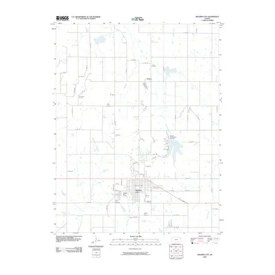
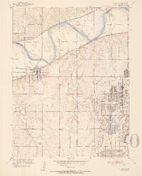
2009 Map of Baldwin City
USGS Topo · Published 2009About this map
Baker University serves as a central anchor for Baldwin City, a community defined by its educational heritage and grid-patterned residential streets. This 2009 survey shows a landscape where academia and agriculture meet, with the university grounds situated just north of the Baldwin Golf Course. To the north, the small settlement of Vinland sits near the Vinland Valley Aerodrome, surrounded by a network of sectional roads and drainages like Coal Creek.
Find a feature on this map
71 named features on this map. Tap any name to fly to it.
Don’t see what you’re looking for? This feature index may not catch every label — zoom into the map to look around manually.
Map Details
Editions of this 2009 Baldwin City Map
This is the sole edition of this map. No revisions or reprints were ever made.
Other maps of this area

1885 · Lawrence
USGS Topo · 1:125,000

1889 · Lawrence
USGS Topo · 1:125,000

1947 · Lawrence
USGS Topo · 1:250,000

1950 · Lawrence
USGS Topo · 1:250,000
1950 · Lawrence East
USGS Topo · 1:24,000
1950 · Lawrence West
USGS Topo · 1:24,000
1951 · Lawrence West
USGS Topo · 1:24,000
1951 · Eudora
USGS Topo · 1:24,000

1956 · Wellsville
USGS Topo · 1:24,000

1956 · Ottawa North
USGS Topo · 1:24,000