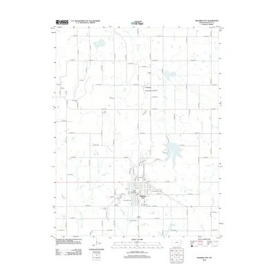
2012 Map of Baldwin City
USGS Topo · Published 2012About this map
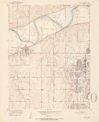
Baker Univ serves as the cultural anchor for Baldwin City in this eastern Kansas landscape, where the academic grounds transition into a meticulously gridded network of rural roads. The area is defined by its numerous burial grounds, including the historic Prairie City Cem and Oakwood Cem, which speak to the long-standing community roots in Douglas County. North of the city, the small settlement of Vinland sits near the Vinland Valley Aerodrome, highlighting a pocket of aviation history amidst the agricultural fields. The terrain is drained by several waterways, most notably Coal Cr and the Middle Fork Tauy Cr, while Douglas Lake and Baldwin City Lake provide distinct water features. This survey preserves the spatial relationship between the university town and its surrounding hamlets during the early twenty-first century.
Find a feature on this map
78 named features on this map. Tap any name to fly to it.
Don’t see what you’re looking for? This feature index may not catch every label — zoom into the map to look around manually.
Map Details
Editions of this 2012 Baldwin City Map
This is the sole edition of this map. No revisions or reprints were ever made.
Other maps of this area

1885 · Lawrence
USGS Topo · 1:125,000

1889 · Lawrence
USGS Topo · 1:125,000

1947 · Lawrence
USGS Topo · 1:250,000

1950 · Lawrence
USGS Topo · 1:250,000
1950 · Lawrence East
USGS Topo · 1:24,000
1950 · Lawrence West
USGS Topo · 1:24,000
1951 · Lawrence West
USGS Topo · 1:24,000
1951 · Eudora
USGS Topo · 1:24,000

1956 · Wellsville
USGS Topo · 1:24,000

1956 · Ottawa North
USGS Topo · 1:24,000