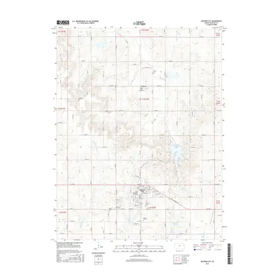
2015 Map of Baldwin City
USGS Topo · Published 2015About this map
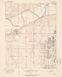
Baker Univ serves as the cultural anchor for Baldwin City, a landscape defined by its grid of rural roads and scattered historical burial grounds. The town plan is densely detailed, showing the layout of streets like Santa Fe Dr and Ames St alongside institutional landmarks such as Baker University - Taft Bridge. To the north, the small settlement of Vinland sits near the Vinland Valley Aerodrome, while the surrounding countryside is marked by several genealogical sites including Prairie City Cem, Oakwood Cem, and the remote Brumbaugh Cem. Drainage patterns are shaped by the Middle Fork Tauy Cr and Coal Cr, which flows into Douglas Lake. This 2015 survey reflects the modern infrastructure of Douglas County, where traditional section lines remain the primary framework for local travel between the university center and the agricultural reaches of the t14s r20e township.
Find a feature on this map
70 named features on this map. Tap any name to fly to it.
Don’t see what you’re looking for? This feature index may not catch every label — zoom into the map to look around manually.
Map Details
Editions of this 2015 Baldwin City Map
This is the sole edition of this map. No revisions or reprints were ever made.
Other maps of this area

1885 · Lawrence
USGS Topo · 1:125,000

1889 · Lawrence
USGS Topo · 1:125,000

1947 · Lawrence
USGS Topo · 1:250,000

1950 · Lawrence
USGS Topo · 1:250,000
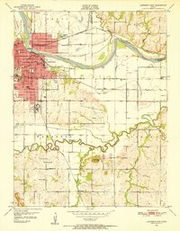
1950 · Lawrence East
USGS Topo · 1:24,000
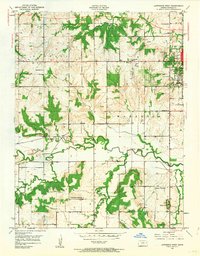
1950 · Lawrence West
USGS Topo · 1:24,000
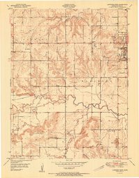
1951 · Lawrence West
USGS Topo · 1:24,000
1951 · Eudora
USGS Topo · 1:24,000

1956 · Wellsville
USGS Topo · 1:24,000

1956 · Ottawa North
USGS Topo · 1:24,000