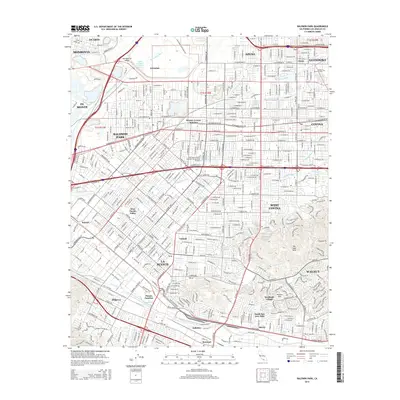
2015 Map of Baldwin Park
USGS Topo · Published 2015About this map
The San Gabriel Valley is dominated by a dense grid of infrastructure and water management systems designed to handle the runoff from the nearby mountains. The Santa Fe Flood Control Basin stands as a massive geographic anchor in the northwest, feeding into the San Gabriel River. This landscape is defined by its complex drainage network, where natural waterways like Walnut Creek and Puente Creek are augmented by engineered features such as the San Jose Creek Diversion Channel and Hacienda Channel.
Find a feature on this map
402 named features on this map. Tap any name to fly to it.
Don’t see what you’re looking for? This feature index may not catch every label — zoom into the map to look around manually.
Map Details
Editions of this 2015 Baldwin Park Map
This is the sole edition of this map. No revisions or reprints were ever made.
Other maps of this area

1894 · Los Angeles
USGS Topo · 1:62,500

1894 · Pomona
USGS Topo · 1:62,500

1896 · Pasadena
USGS Topo · 1:62,500

1896 · Anaheim
USGS Topo · 1:62,500

1896 · Downey
USGS Topo · 1:62,500

1897 · Pomona
USGS Topo · 1:62,500

1898 · Pomona
USGS Topo · 1:62,500

1898 · Anaheim
USGS Topo · 1:62,500

1899 · Downey
USGS Topo · 1:62,500

1900 · Pasadena
USGS Topo · 1:62,500