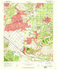
1953 Map of Baldwin Park
USGS Topo · Published 1960About this map
Baldwin Park and surrounding Los Angeles County communities are shown here during a period of rapid mid-century suburban expansion. The landscape is defined by its sophisticated water management and transportation systems, anchored by the massive Santa Fe Flood Control Basin and its Mountain View Spillway to the north. Transportation routes like the Pacific Electric and Southern Pacific railroads provided the backbone for these residential and light industrial hubs before the full dominance of the freeway system. The map reveals an interesting concentration of specialized institutions, including the Van Velzer Sanitarium School for Physically Handicapped Children, Sierra Lodge Sanitarium, and Palm Grove Sanitarium. The terrain shifts from the flat alluvial plains of the San Gabriel River to the prominent Puente Hills and San Jose Hills, where land use transitions into early suburban neighborhoods like North Whittier Heights.
Find a feature on this map
64 named features on this map. Tap any name to fly to it.
Don’t see what you’re looking for? This feature index may not catch every label — zoom into the map to look around manually.
Map Details
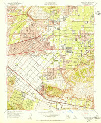
Editions of this 1953 Baldwin Park Map
2 editions found
Other maps of this area

1894 · Los Angeles
USGS Topo · 1:62,500

1894 · Pomona
USGS Topo · 1:62,500

1896 · Pasadena
USGS Topo · 1:62,500

1896 · Anaheim
USGS Topo · 1:62,500

1896 · Downey
USGS Topo · 1:62,500

1897 · Pomona
USGS Topo · 1:62,500

1898 · Pomona
USGS Topo · 1:62,500

1898 · Anaheim
USGS Topo · 1:62,500

1899 · Downey
USGS Topo · 1:62,500

1900 · Pasadena
USGS Topo · 1:62,500