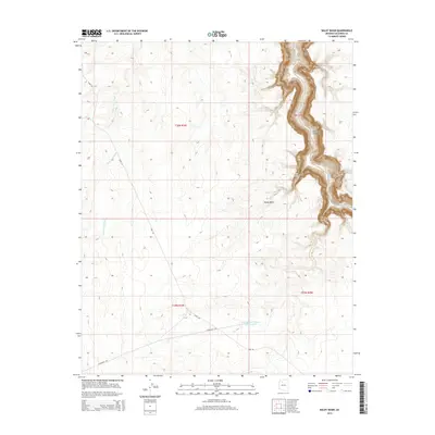
2014 Map of Baldy Basin
USGS Topo · Published 2014About this map
Cataract Canyon dominates the eastern edge of this Coconino County landscape, where the deeply carved path of Cataract Creek creates a dramatic vertical break in the high plateau. This arid terrain is defined by its water management and sparse access routes, featuring named drainage systems like Black Tank Wash and isolated water sources such as Sinyella Spring. The presence of Tank Number Thirteen and One-Half indicates the critical importance of livestock or wildlife watering infrastructure in this environment.
Find a feature on this map
12 named features on this map. Tap any name to fly to it.
Don’t see what you’re looking for? This feature index may not catch every label — zoom into the map to look around manually.
Map Details
Editions of this 2014 Baldy Basin Map
This is the sole edition of this map. No revisions or reprints were ever made.
Other maps of this area

1886 · Chino
USGS Topo · 1:250,000

1886 · Kaibab
USGS Topo · 1:250,000

1891 · Chino
USGS Topo · 1:250,000

1948 · Williams
USGS Topo · 1:250,000

1953 · Grand Canyon
USGS Topo · 1:250,000

1954 · Williams
USGS Topo · 1:250,000

1956 · Williams
USGS Topo · 1:250,000

1957 · Grand Canyon
USGS Topo · 1:250,000

1958 · Grand Canyon
USGS Topo · 1:250,000

1960 · Williams
USGS Topo · 1:250,000