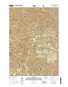
2017 Map of Baldy Mountain
USGS Topo · Published 2017About this map
Siuslaw National Forest dominates this section of the Oregon Coast Range, where the drainage basins of the N Fork Smith River and Sweet Cr meet. The landscape is defined by its dramatic vertical relief, featuring the prominent Baldy Mountain and the distinct peak of Mt Grayback. This 2017 survey details a remote interior of Lane Co and Douglas Co that remains largely accessible only via a network of forest service and bureau of land management roads, such as Hadsall Creek Rd and Nat Forest Develop Road 4880 Rd. A notable geographic highlight is the concentration of waterfalls along the Kentucky Creek drainage, specifically Upper Kentucky Falls and Lower North Kentucky Falls, which sit nestled between high ridges like Hand Ridge and Smittie Ridge. The mapping shows the intricate web of small tributaries including Sheep Herder Cr and Jump Cr that feed the region's larger river systems.
Find a feature on this map
43 named features on this map. Tap any name to fly to it.
Don’t see what you’re looking for? This feature index may not catch every label — zoom into the map to look around manually.
Map Details
Editions of this 2017 Baldy Mountain Map
This is the sole edition of this map. No revisions or reprints were ever made.
Other maps of this area

1918 · Mapleton
USGS Topo · 1:48,000

1919 · Earl
USGS Topo · 1:48,000

1940 · Mapleton
USGS Topo · 1:62,500

1941 · Blachly
USGS Topo · 1:62,500

1942 · Blachly
USGS Topo · 1:62,500

1942 · Roman Nose Mtn
USGS Topo · 1:62,500

1943 · Goodwin Peak
USGS Topo · 1:62,500

1945 · Mapleton
USGS Topo · 1:62,500

1945 · Roman Nose Mtn
USGS Topo · 1:62,500

1953 · Salem
USGS Topo · 1:250,000