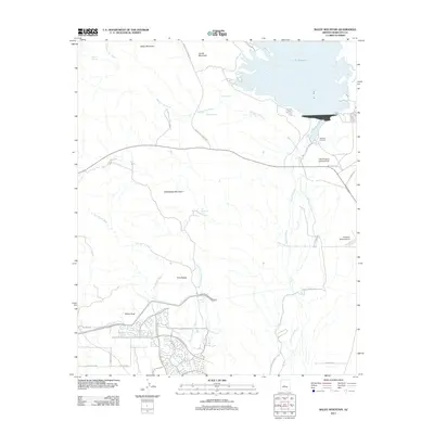
2011 Map of Baldy Mountain
USGS Topo · Published 2011About this map
Lake Pleasant dominates the northern landscape of this region, its shoreline intricately carved by desert drainages like Morgan City Wash and Chalky Spring. To the south, the Agua Fria River cuts a wide path through the arid valley floor. The desert terrain is defined by prominent peaks including Baldy Mountain, Saddleback Mountain, and the distinct Twin Buttes. Aviation facilities such as the Lake Pleasant Landing Field and Pleasant Valley Airport suggest a landscape geared toward recreational and utility access.
Find a feature on this map
39 named features on this map. Tap any name to fly to it.
Don’t see what you’re looking for? This feature index may not catch every label — zoom into the map to look around manually.
Map Details
Editions of this 2011 Baldy Mountain Map
This is the sole edition of this map. No revisions or reprints were ever made.
Other maps of this area

1954 · Phoenix
USGS Topo · 1:250,000

1957 · Phoenix
USGS Topo · 1:250,000

1957 · Calderwood Butte
USGS Topo · 1:24,000

1957 · McMicken Dam
USGS Topo · 1:24,000

1957 · Hedgpeth Hills
USGS Topo · 1:24,000

1958 · Phoenix
USGS Topo · 1:250,000

1960 · Phoenix
USGS Topo · 1:250,000
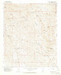
1964 · Garfias Mountain
USGS Topo · 1:24,000
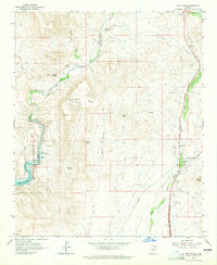
1964 · New River
USGS Topo · 1:24,000
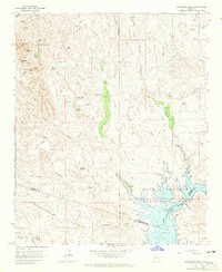
1964 · Governors Peak
USGS Topo · 1:24,000