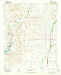
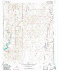
1964 Map of New River
USGS Topo · Published 1965About this map
Agua Fria River and New River define the arid landscape of this northern Maricopa County region in the early 1960s. The settlement of New River appears along the eastern corridor, supported by the New River Sch and a Gaging Sta. The map documents a rugged interior of mesas and peaks, such as Wild Burro Mesa, Doe Peak, and Gavilan Peak. Notable human activity is marked by isolated sites like the Little Grand Canyon Rancho and the Ruins found near Indian Mesa. The western edge shows the early development of the Lake Pleasant Regional Park, where the waters reach the border of Yavapai Co and Maricopa Co. Resource extraction is evident through a Quarry and Gravel Pit, while water sources like Whiskey Spring and Sweat Spr remain critical landmarks in this desert terrain.
Find a feature on this map
28 named features on this map. Tap any name to fly to it.
Don’t see what you’re looking for? This feature index may not catch every label — zoom into the map to look around manually.
Map Details
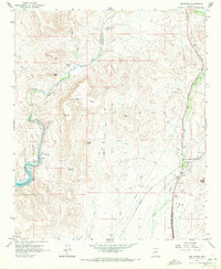
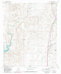
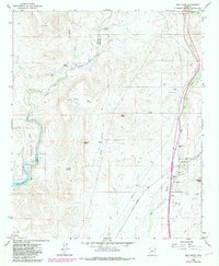
Editions of this 1964 New River Map
5 editions found
Other maps of this area

1887 · Prescott
USGS Topo · 1:250,000

1892 · Prescott
USGS Topo · 1:250,000

1903 · Bradshaw Mountains
USGS Topo · 1:125,000

1947 · Crown King
USGS Topo · 1:62,500

1947 · Bumblebee
USGS Topo · 1:62,500

1948 · Bumblebee
USGS Topo · 1:63,360

1948 · Crown King
USGS Topo · 1:63,360

1950 · Crown King
USGS Topo · 1:62,500

1950 · Bumblebee
USGS Topo · 1:62,500

1950 · Prescott
USGS Topo · 1:250,000