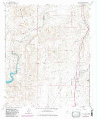
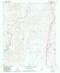
1964 Map of New River
USGS Topo · Published 1986About this map
New River sits along its namesake waterway in this mid-1960s survey, showing the settlement's early footprint in the foothills of the Bradshaw Mts. The community is anchored by the New River Sch, while more isolated outposts like the Little Grand Canyon Rancho dot the surrounding high desert. The landscape transitions from the riparian corridor of the Agua Fria River in the west to the higher elevations of Wild Burro Mesa and Doe Peak in the center.
Find a feature on this map
32 named features on this map. Tap any name to fly to it.
Don’t see what you’re looking for? This feature index may not catch every label — zoom into the map to look around manually.
Map Details
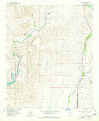
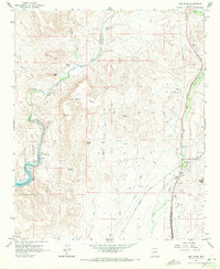
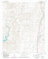
Editions of this 1964 New River Map
5 editions found
Other maps of this area

1887 · Prescott
USGS Topo · 1:250,000

1892 · Prescott
USGS Topo · 1:250,000

1903 · Bradshaw Mountains
USGS Topo · 1:125,000

1947 · Crown King
USGS Topo · 1:62,500

1947 · Bumblebee
USGS Topo · 1:62,500

1948 · Bumblebee
USGS Topo · 1:63,360

1948 · Crown King
USGS Topo · 1:63,360

1950 · Crown King
USGS Topo · 1:62,500

1950 · Bumblebee
USGS Topo · 1:62,500

1950 · Prescott
USGS Topo · 1:250,000