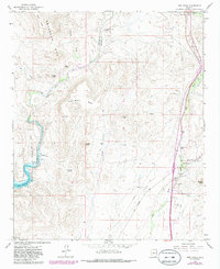
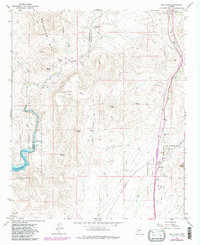
1964 Map of New River
USGS Topo · Published 1982About this map
The Agua Fria River and the southern slopes of the Bradshaw Mts define this high-desert landscape north of Phoenix. In the early 1960s, the small settlement of New River is centered along its namesake waterway, featuring the New River Sch and a local Gaging Sta. The topography is marked by significant mesa and peak formations, such as Gavilan Peak, Wild Burro Mesa, and Doe Peak.
Find a feature on this map
33 named features on this map. Tap any name to fly to it.
Don’t see what you’re looking for? This feature index may not catch every label — zoom into the map to look around manually.
Map Details
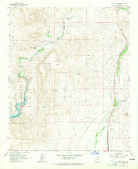
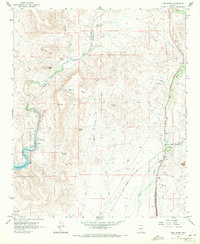
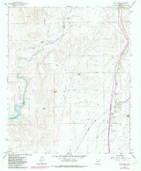
Editions of this 1964 New River Map
5 editions found
Other maps of this area

1887 · Prescott
USGS Topo · 1:250,000

1892 · Prescott
USGS Topo · 1:250,000

1903 · Bradshaw Mountains
USGS Topo · 1:125,000

1947 · Crown King
USGS Topo · 1:62,500

1947 · Bumblebee
USGS Topo · 1:62,500

1948 · Bumblebee
USGS Topo · 1:63,360

1948 · Crown King
USGS Topo · 1:63,360

1950 · Crown King
USGS Topo · 1:62,500

1950 · Bumblebee
USGS Topo · 1:62,500

1950 · Prescott
USGS Topo · 1:250,000