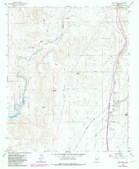
1964 Map of New River
USGS Topo · Published 1986About this map
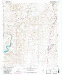
The Yavapai Co Maricopa Co boundary line divides a high-desert landscape defined by complex river systems and seasonal springs. In the eastern corridor, the settlement of New River is established along its namesake waterway, featuring the New River Sch and a Gaging Sta. The western portion of the area is dominated by the Agua Fria River, which flows into Lake Pleasant within the Lake Pleasant Regional Park. Human presence across this arid terrain is marked by diverse landmarks, from the Ruins on Indian Mesa to the Little Grand Canyon Rancho further north. Reliable water sources like Whiskey Spring and Sweat Spr provide essential points of interest in a region of prominent elevations, including Wild Burro Mesa and the distinctive Gavilan Peak.
Find a feature on this map
32 named features on this map. Tap any name to fly to it.
Don’t see what you’re looking for? This feature index may not catch every label — zoom into the map to look around manually.
Map Details
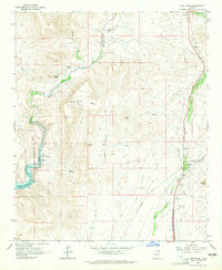
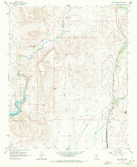
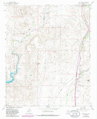
Editions of this 1964 New River Map
5 editions found
Other maps of this area

1887 · Prescott
USGS Topo · 1:250,000

1892 · Prescott
USGS Topo · 1:250,000

1903 · Bradshaw Mountains
USGS Topo · 1:125,000

1947 · Crown King
USGS Topo · 1:62,500

1947 · Bumblebee
USGS Topo · 1:62,500

1948 · Bumblebee
USGS Topo · 1:63,360

1948 · Crown King
USGS Topo · 1:63,360

1950 · Crown King
USGS Topo · 1:62,500

1950 · Bumblebee
USGS Topo · 1:62,500

1950 · Prescott
USGS Topo · 1:250,000