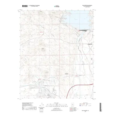
2018 Map of Baldy Mountain
USGS Topo · Published 2018About this map
Vistancia and the expanding northern reaches of Phoenix and Peoria dominate the lower half of this 2018 survey, illustrating the rapid suburbanization of the desert landscape. The intricate residential street networks of the southwest corner contrast sharply with the arid terrain to the north, where elevations rise toward Baldy Mtn and Cholla Mtn. The eastern edge of the map is defined by the significant waters of Lake Pleasant, a vital regional reservoir fed by the Aqua Fria River. Modern infrastructure is prominently represented by the Central Arizona Project Aqueduct and the Waddell Canal Cap, while the Prickly Pedal Race Course and Maricopa Trail signal the area's transition into a major recreational hub. Small aviation history is preserved at the Pleasant Valley Airport near the eastern boundary.
Find a feature on this map
75 named features on this map. Tap any name to fly to it.
Don’t see what you’re looking for? This feature index may not catch every label — zoom into the map to look around manually.
Map Details
Editions of this 2018 Baldy Mountain Map
This is the sole edition of this map. No revisions or reprints were ever made.
Other maps of this area

1954 · Phoenix
USGS Topo · 1:250,000

1957 · Phoenix
USGS Topo · 1:250,000

1957 · Calderwood Butte
USGS Topo · 1:24,000

1957 · McMicken Dam
USGS Topo · 1:24,000

1957 · Hedgpeth Hills
USGS Topo · 1:24,000

1958 · Phoenix
USGS Topo · 1:250,000

1960 · Phoenix
USGS Topo · 1:250,000
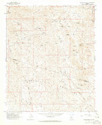
1964 · Garfias Mountain
USGS Topo · 1:24,000
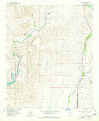
1964 · New River
USGS Topo · 1:24,000
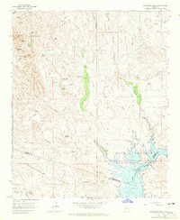
1964 · Governors Peak
USGS Topo · 1:24,000