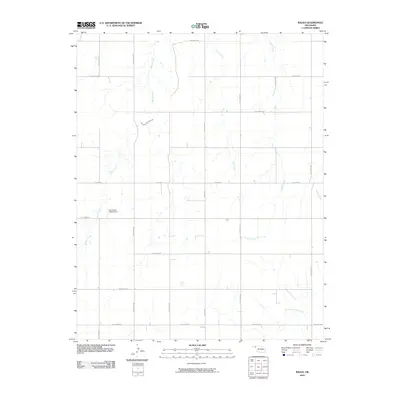
2010 Map of Balko
USGS Topo · Published 2010About this map
Balko is characterized by its expansive grid of agricultural roads and the intermittent watercourses that drain the High Plains of the Oklahoma Panhandle. The landscape is defined by the drainage patterns of Willow Creek, Elm Creek, and Dugout Creek, which meander across a predominantly flat terrain marked by low contour intervals. A notable man-made feature is the Oknoname 153002 Dam, part of the local water management infrastructure in this semi-arid region. These waterways eventually feed into systems like North Fork Clear Creek and Sixmile Creek to the east. The map provides a detailed record of the township and range survey system, visible in the named section line roads such as Balko Rd and C E Law Rd, which illustrate the structured settlement pattern typical of Beaver County.
Find a feature on this map
22 named features on this map. Tap any name to fly to it.
Don’t see what you’re looking for? This feature index may not catch every label — zoom into the map to look around manually.
Map Details
Editions of this 2010 Balko Map
This is the sole edition of this map. No revisions or reprints were ever made.
Other maps of this area

1954 · Perryton
USGS Topo · 1:250,000

1958 · Perryton
USGS Topo · 1:250,000

1973 · Balko
USGS Topo · 1:24,000

1973 · Boyd
USGS Topo · 1:24,000

1973 · Balko NE
USGS Topo · 1:24,000

1973 · Elmwood
USGS Topo · 1:24,000

1973 · Floris
USGS Topo · 1:24,000

1973 · Turpin East
USGS Topo · 1:24,000

1973 · Beaver
USGS Topo · 1:24,000

1973 · Bryans Corner
USGS Topo · 1:24,000