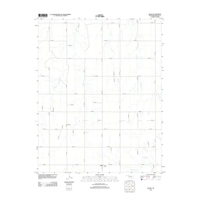
2012 Map of Balko
USGS Topo · Published 2012About this map
The small unincorporated community of Balko serves as the focal point for this section of Beaver County, Oklahoma. Situated in the High Plains of the Panhandle, the landscape is defined by a strictly surveyed grid of county roads and intermittent stream beds that cut through the terrain. To the south, Pleasant Hill Cem provides a vital genealogical reference for local families in this agricultural region. The drainage patterns of the area are visible through several significant waterways, including the winding course of Willow Cr in the west and Dugout Cr further east. In the southern reaches, the N Fork Clear Cr moves through the landscape near the intersection of several section-line roads, illustrating the organized land division typical of the region's late-twentieth-century development.
Find a feature on this map
42 named features on this map. Tap any name to fly to it.
Don’t see what you’re looking for? This feature index may not catch every label — zoom into the map to look around manually.
Map Details
Editions of this 2012 Balko Map
This is the sole edition of this map. No revisions or reprints were ever made.
Other maps of this area

1954 · Perryton
USGS Topo · 1:250,000

1958 · Perryton
USGS Topo · 1:250,000

1973 · Balko
USGS Topo · 1:24,000

1973 · Boyd
USGS Topo · 1:24,000

1973 · Balko NE
USGS Topo · 1:24,000

1973 · Elmwood
USGS Topo · 1:24,000

1973 · Floris
USGS Topo · 1:24,000

1973 · Turpin East
USGS Topo · 1:24,000

1973 · Beaver
USGS Topo · 1:24,000

1973 · Bryans Corner
USGS Topo · 1:24,000