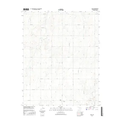
2016 Map of Balko
USGS Topo · Published 2016About this map
Balko and the surrounding plains of Beaver County are defined by a network of drainage creeks and a geometric grid of rural section roads in this mid-2010s survey. The landscape is carved by the winding paths of Willow Cr and Dugout Cr, which break the regularity of the high-desert terrain. Near the southern edge of the quadrangle, the Pleasant Hill Cem provides a specific point of interest for genealogists tracking family history in this corner of the Oklahoma Panhandle. Significant transit routes including Balko Rd and C E Law Rd connect the scattered homesteads and agricultural plots, while the upper reaches of N Fork Clear Cr and Sixmile Cr highlight the vital role of local hydrology in an area where water and wind shape the soil.
Find a feature on this map
33 named features on this map. Tap any name to fly to it.
Don’t see what you’re looking for? This feature index may not catch every label — zoom into the map to look around manually.
Map Details
Editions of this 2016 Balko Map
This is the sole edition of this map. No revisions or reprints were ever made.
Other maps of this area

1954 · Perryton
USGS Topo · 1:250,000

1958 · Perryton
USGS Topo · 1:250,000

1973 · Balko
USGS Topo · 1:24,000

1973 · Boyd
USGS Topo · 1:24,000

1973 · Balko NE
USGS Topo · 1:24,000

1973 · Elmwood
USGS Topo · 1:24,000

1973 · Floris
USGS Topo · 1:24,000

1973 · Turpin East
USGS Topo · 1:24,000

1973 · Beaver
USGS Topo · 1:24,000

1973 · Bryans Corner
USGS Topo · 1:24,000