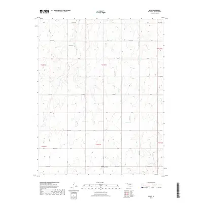
2018 Map of Balko
USGS Topo · Published 2018About this map
Balko sits at the intersection of a vast grid of section-line roads in this 2018 survey of the Oklahoma Panhandle. The settlement is centered near Balko Rd and Hollow E0260, adjacent to the Pleasant Hill Cem. This portion of Beaver County is defined by its drainage patterns, where intermittent streams like Willow Creek, Elm Creek, and Dugout Creek carve subtle relief into the High Plains. To the east, Sixmile Creek and the N Fork Clear Creek drain toward the edge of the quadrangle. The map documents the rigid township and range system, including t3n r22e, which governs the agricultural layout of the region. Local names like C E Law Rd reflect the enduring legacy of early families and landholders in this rural landscape.
Find a feature on this map
39 named features on this map. Tap any name to fly to it.
Don’t see what you’re looking for? This feature index may not catch every label — zoom into the map to look around manually.
Map Details
Editions of this 2018 Balko Map
This is the sole edition of this map. No revisions or reprints were ever made.
Other maps of this area

1954 · Perryton
USGS Topo · 1:250,000

1958 · Perryton
USGS Topo · 1:250,000

1973 · Balko
USGS Topo · 1:24,000

1973 · Boyd
USGS Topo · 1:24,000

1973 · Balko NE
USGS Topo · 1:24,000

1973 · Elmwood
USGS Topo · 1:24,000

1973 · Floris
USGS Topo · 1:24,000

1973 · Turpin East
USGS Topo · 1:24,000

1973 · Beaver
USGS Topo · 1:24,000

1973 · Bryans Corner
USGS Topo · 1:24,000