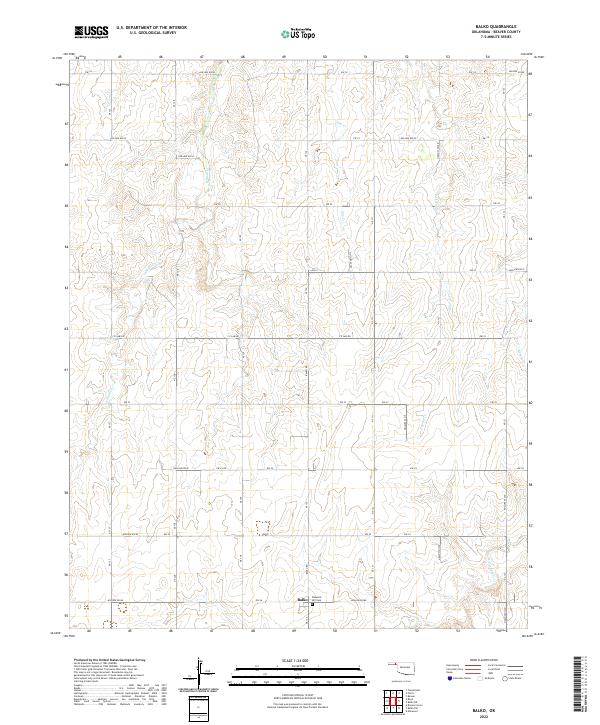
2022 Map of Balko
USGS Topo · Published 2022About this map
The settlement of Balko serves as the central point for this high-plains landscape in Beaver County, located at the intersection of several significant local arteries including CE Law Rd and various east-west routes like Ew 26. The topography is defined by a dendritic network of drainage channels, most notably Willow Creek and Elm Creek, which carve subtle relief into the agricultural grid. This 2022 survey illustrates the enduring patterns of rural Oklahoma land management, where section lines dictate the road network and habitation remains sparse and focused around community nodes. For local historians and genealogists, the Pleasant Hill Cemetery near the southern edge of the quadrangle provides a vital link to the families who settled this portion of the Panhandle. The landscape is also etched with numerous local hollows, such as Hollow E0260, marking the low-lying areas between the upland plains.
Find a feature on this map
31 named features on this map. Tap any name to fly to it.
Don’t see what you’re looking for? This feature index may not catch every label — zoom into the map to look around manually.
Map Details
Editions of this 2022 Balko Map
This is the sole edition of this map. No revisions or reprints were ever made.
Other maps of this area

1954 · Perryton
USGS Topo · 1:250,000

1958 · Perryton
USGS Topo · 1:250,000

1973 · Balko
USGS Topo · 1:24,000

1973 · Boyd
USGS Topo · 1:24,000

1973 · Balko NE
USGS Topo · 1:24,000

1973 · Elmwood
USGS Topo · 1:24,000

1973 · Floris
USGS Topo · 1:24,000

1973 · Turpin East
USGS Topo · 1:24,000

1973 · Beaver
USGS Topo · 1:24,000

1973 · Bryans Corner
USGS Topo · 1:24,000