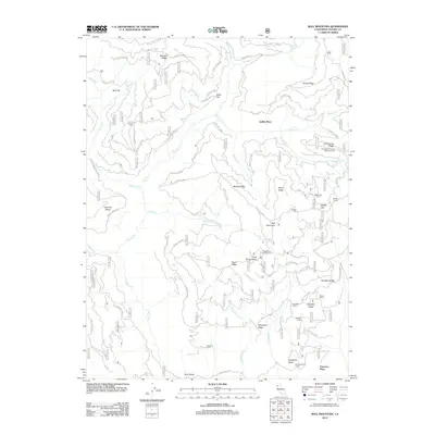
2012 Map of Ball Mountain
USGS Topo · Published 2012About this map
Ball Mountain anchors this high-elevation landscape in the Mendocino National Forest, where a network of Forest Service routes like Forest Rte M2 and Forest Rte 24N01 provide access to seasonal camps and family-named landmarks. The terrain is defined by dramatic changes in elevation, transitioning from the broad Bull Flat and Black Flat to steep features like Howell Gap and Snake Ridge. Numerous glades, including Hensley Glade and Sugarfoot Glade, suggest small openings in the timber and brush where cattle and wildlife likely congregate.
Find a feature on this map
61 named features on this map. Tap any name to fly to it.
Don’t see what you’re looking for? This feature index may not catch every label — zoom into the map to look around manually.
Map Details
Editions of this 2012 Ball Mountain Map
This is the sole edition of this map. No revisions or reprints were ever made.
Other maps of this area

1890 · Red Bluff
USGS Topo · 1:250,000

1894 · Red Bluff
USGS Topo · 1:250,000

1949 · Colyear Springs
USGS Topo · 1:62,500

1952 · Paskenta
USGS Topo · 1:62,500

1952 · Anthony Peak
USGS Topo · 1:62,500

1954 · Yolla Bolly
USGS Topo · 1:62,500

1957 · Colyear Springs
USGS Topo · 1:62,500

1957 · Ukiah
USGS Topo · 1:250,000

1958 · Redding
USGS Topo · 1:250,000

1960 · Ukiah
USGS Topo · 1:250,000