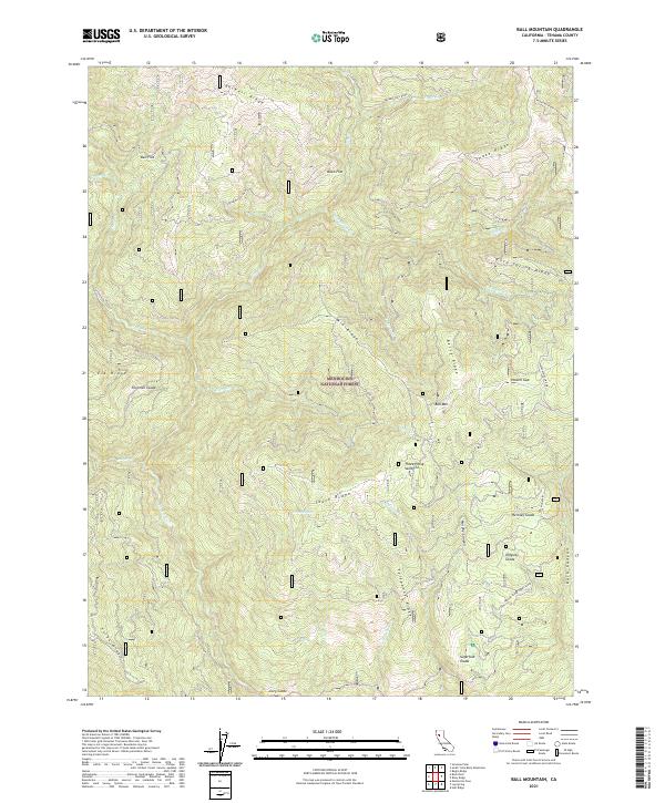
2021 Map of Ball Mountain
USGS Topo · Published 2021About this map
Mendocino National Forest defines the rugged topography of this Tehama County landscape, where deep drainages like Murphy Canyon and Dark Canyon slice between prominent ridgelines. The area is characterized by numerous small mountain meadows or glades, such as Foreman Glade, Hensley Glade, and Sugarfoot Glade, which provide distinct breaks in the dense forest cover. Elevations vary significantly across the South Ridge and Telephone Ridge, with Ball Mountain serving as a central landmark for the surrounding terrain.
Find a feature on this map
42 named features on this map. Tap any name to fly to it.
Don’t see what you’re looking for? This feature index may not catch every label — zoom into the map to look around manually.
Map Details
Editions of this 2021 Ball Mountain Map
This is the sole edition of this map. No revisions or reprints were ever made.
Other maps of this area

1890 · Red Bluff
USGS Topo · 1:250,000

1894 · Red Bluff
USGS Topo · 1:250,000

1949 · Colyear Springs
USGS Topo · 1:62,500

1952 · Paskenta
USGS Topo · 1:62,500

1952 · Anthony Peak
USGS Topo · 1:62,500

1954 · Yolla Bolly
USGS Topo · 1:62,500

1957 · Colyear Springs
USGS Topo · 1:62,500

1957 · Ukiah
USGS Topo · 1:250,000

1958 · Redding
USGS Topo · 1:250,000

1960 · Ukiah
USGS Topo · 1:250,000