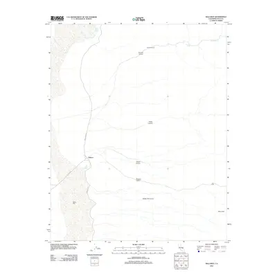
2012 Map of Ballarat
USGS Topo · Published 2012About this map
Ballarat stands as the primary reference point in this arid Inyo County landscape, situated at the edge of the expansive Alkali Flat. The map reveals a network of canyons that carve into the higher elevations to the east, including Surprise Canyon, Happy Canyon, and Jackpot Canyon. These drainages are interspersed with scattered outposts and camps such as Chris Wicht Camp and Clair Camp, indicating a history of isolated activity in the desert. The availability of water is a defining feature of the area's geography, marked by several isolated sources like Warm Sulphur Springs, Brewery Spring, and Post Office Spring. Transport through this rugged environment is limited to unpaved corridors like Indian Ranch Rd and Wingate Rd, which connect the small settlements to the valley floor near Slims Peak.
Find a feature on this map
17 named features on this map. Tap any name to fly to it.
Don’t see what you’re looking for? This feature index may not catch every label — zoom into the map to look around manually.
Map Details
Editions of this 2012 Ballarat Map
This is the sole edition of this map. No revisions or reprints were ever made.
Other maps of this area

1908 · Ballarat
USGS Topo · 1:250,000

1913 · Ballarat
USGS Topo · 1:250,000

1915 · Searles Lake
USGS Topo · 1:250,000

1947 · Trona
USGS Topo · 1:250,000

1948 · Trona
USGS Topo · 1:250,000

1948 · Death Valley
USGS Topo · 1:250,000

1949 · Trona
USGS Topo · 1:62,500

1950 · Trona
USGS Topo · 1:62,500

1950 · Manly Peak
USGS Topo · 1:62,500
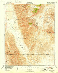
1951 · Manly Peak
USGS Topo · 1:62,500