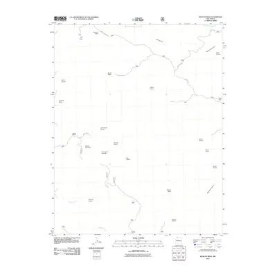
2011 Map of Bancos Mesa
USGS Topo · Published 2011About this map
Carracas Mesa and Bancos Mesa define this high-altitude landscape of northern New Mexico, characterized by a series of dramatic mesas and deeply incised canyons. The terrain transitions from the heights of Carracas Rim and Eul Point down into complex drainages such as Tio Quinto Canyon and Alamo Canyon. Water flows through the southern portion of the quadrangle along Cabresto Creek, which cuts past Martinez Canyon. The area is accessible via a network of primitive routes including Carracas Mesa Rd and various Forest Service roads like Forest Rd 218, reflecting the area's role as managed timber and grazing land within the high desert environment. Distinctive landmarks such as Cedar Rock and the evocatively named Pecho de la Doncella provide orientation points across this remote Rio Arriba County landscape.
Find a feature on this map
29 named features on this map. Tap any name to fly to it.
Don’t see what you’re looking for? This feature index may not catch every label — zoom into the map to look around manually.
Map Details
Editions of this 2011 Bancos Mesa Map
This is the sole edition of this map. No revisions or reprints were ever made.
Other maps of this area

1889 · Largo
USGS Topo · 1:250,000

1895 · Largo
USGS Topo · 1:250,000

1924 · Pagosa Springs
USGS Topo · 1:125,000

1927 · Pagosa Springs
USGS Topo · 1:125,000

1945 · Durango
USGS Topo · 1:250,000

1953 · Durango
USGS Topo · 1:250,000

1954 · Durango
USGS Topo · 1:250,000

1954 · Allison
USGS Topo · 1:24,000

1954 · Carracas
USGS Topo · 1:24,000

1954 · Rosa
USGS Topo · 1:24,000