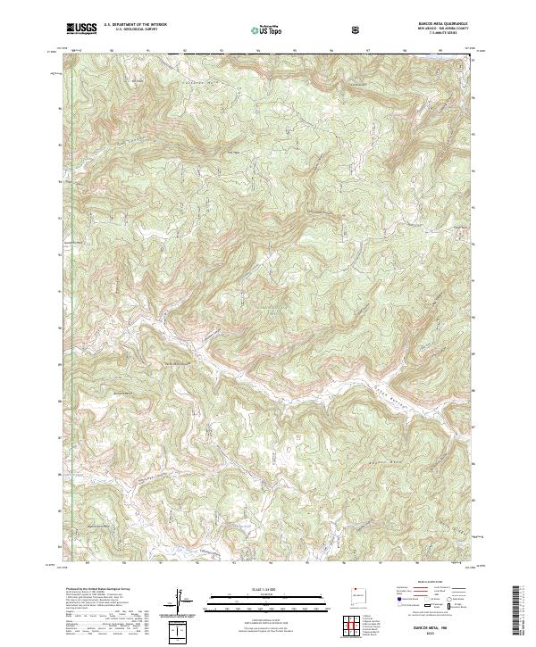
2023 Map of Bancos Mesa
USGS Topo · Published 2023About this map
Carracas Mesa and Bancos Mesa dominate this high-altitude landscape in the northern reaches of Rio Arriba County, where the San Juan River cuts along the northern boundary. The terrain is a complex network of deep canyons and prominent mesas, including Quintana Mesa and Laguna Seca Mesa, much of which is protected within the Carson National Forest. For local historians and genealogists, the presence of Gomez Ranch, Espinosa Ranch, and Bixler Ranch provides a modern look at the continued ranching presence in this remote territory.
Find a feature on this map
49 named features on this map. Tap any name to fly to it.
Don’t see what you’re looking for? This feature index may not catch every label — zoom into the map to look around manually.
Map Details
Editions of this 2023 Bancos Mesa Map
This is the sole edition of this map. No revisions or reprints were ever made.
Other maps of this area

1889 · Largo
USGS Topo · 1:250,000

1895 · Largo
USGS Topo · 1:250,000

1924 · Pagosa Springs
USGS Topo · 1:125,000

1927 · Pagosa Springs
USGS Topo · 1:125,000

1945 · Durango
USGS Topo · 1:250,000

1953 · Durango
USGS Topo · 1:250,000

1954 · Durango
USGS Topo · 1:250,000

1954 · Allison
USGS Topo · 1:24,000

1954 · Carracas
USGS Topo · 1:24,000

1954 · Rosa
USGS Topo · 1:24,000