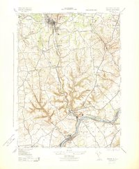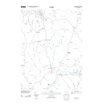
1953 Map of Bangor
USGS Topo · Published 1953About this map
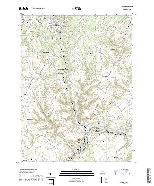
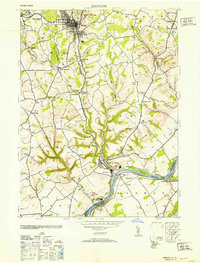
The industrial corridor of the Delaware River valley is heavily defined by the extraction and manufacturing landscape of Northampton County. Large-scale operations such as the Old Bangor Slate Quarry and the Alpha Cement Co reflect the region's historical reliance on mineral wealth. The transport of these materials is facilitated by the Lehigh and New England railroad and the Pennsylvania New Jersey line, which connect local hubs like Pen Argyl and Bangor to the wider eastern markets. Southward, the settlement at Martins Creek serves as a focal point where industrial stacks and quarries meet the riverside. Away from the industrial nodes, the land is dotted with small rural centers such as Stone Church and Flicksville, alongside several township schools like Washington TWS School and the Franklin Hill School, providing a window into the mid-century social structure of these Pennsylvania communities.
Find a feature on this map
53 named features on this map. Tap any name to fly to it.
Don’t see what you’re looking for? This feature index may not catch every label — zoom into the map to look around manually.
Map Details
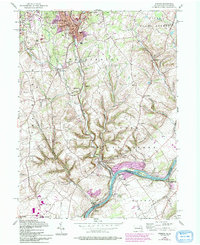
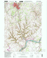
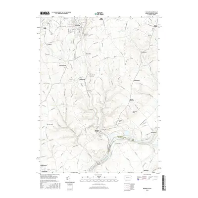
Editions of this 1953 Bangor Map
This is the sole edition of this map. No revisions or reprints were ever made.
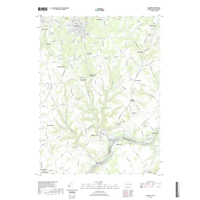
Historical Maps of Bangor Through Time
9 maps found