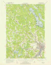
1955 Map of Bangor
USGS Topo · Published 1957About this map
The Penobscot River and Stillwater River anchor the southeastern corner of this mid-century portrait, where the city's rail and water infrastructure intersect. Much of the landscape is defined by the expansive Pushaw Lake, bordered by numerous private landings like Cunningham Ldg and Gould Ldg. The region's industrial and transit character is evident at the Northern Maine Junction, where the Bangor and Aroostook and Maine Central railroads converge.
Find a feature on this map
118 named features on this map. Tap any name to fly to it.
Don’t see what you’re looking for? This feature index may not catch every label — zoom into the map to look around manually.
Map Details
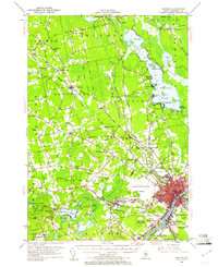
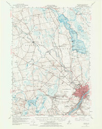
Editions of this 1955 Bangor Map
3 editions found
Other maps of this area

1900 · Orland
USGS Topo · 1:62,500

1900 · Bucksport
USGS Topo · 1:62,500

1902 · Orono
USGS Topo · 1:62,500

1902 · Bucksport
USGS Topo · 1:62,500

1902 · Bangor
USGS Topo · 1:62,500

1917 · Passadumkeag
USGS Topo · 1:62,500

1931 · Stetson
USGS Topo · 1:48,000

1932 · Brooks
USGS Topo · 1:62,500

1932 · Dover-Foxcroft
USGS Topo · 1:48,000

1933 · Boyd Lake
USGS Topo · 1:62,500