
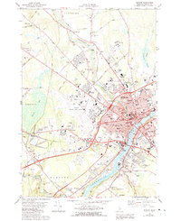
1960 Map of Bangor
USGS Topo · Published 1960About this map
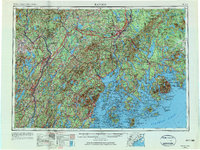
The Penobscot River serves as the industrial and logistical spine of this mid-century coastal landscape, connecting the manufacturing hubs of Orono, Bangor, and Brewer to the Atlantic. This 1960 edition shows the region during a period of transition, where the established rail networks of the Bangor and Aroostook and Maine Central intersect with modern infrastructure like the Maine Turnpike. The heavy military presence at Dow Air Force Base stands in contrast to the protected coastline of Acadia National Park on Mount Desert Island. To the west, the Kennebec River corridor links the state capital of Augusta with riverside industrial towns like Waterville and Skowhegan, illustrating the density of Maine's inland river commerce before the full expansion of the interstate system changed the movement of goods.
Find a feature on this map
46 named features on this map. Tap any name to fly to it.
Don’t see what you’re looking for? This feature index may not catch every label — zoom into the map to look around manually.
Map Details
Editions of this 1960 Bangor Map
This is the sole edition of this map. No revisions or reprints were ever made.
Historical Maps of Pelton Hill Through Time
13 maps found
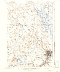
1902 Bangor
Penobscot County, ME

1942 Bangor
Penobscot County, ME
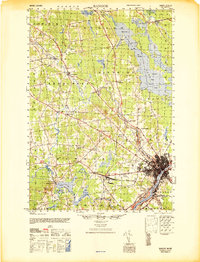
1946 Bangor
Penobscot County, ME

1948 Bangor
Penobscot County, ME
1955 Bangor
Penobscot County, ME
1956 Bangor
Penobscot County, ME
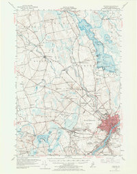
1960 Bangor
Penobscot County, ME

1961 Bangor
Penobscot County, ME
1978 Bangor
Penobscot County, ME

1985 Bangor
Penobscot County, ME

1994 Bangor
Penobscot County, ME
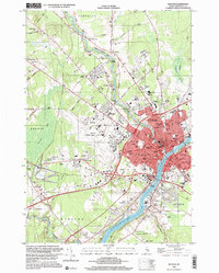
1996 Bangor
Penobscot County, ME
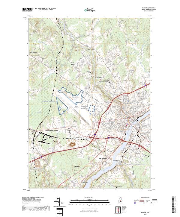
2024 Bangor
Penobscot County, ME