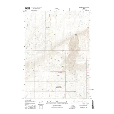
2015 Map of Banner Mountain
USGS Topo · Published 2015About this map
Medicine Bow National Forest dominates the southern half of this landscape, where the high-altitude terrain is carved by complex drainages. Significant water management features, including McDonald Reservoir, Agnes Reservoir, and the Rissler Reservoir, are concentrated in the western reaches, indicating the vital role of water storage for the surrounding ranching lands. The map details a network of canyons and draws, such as Trout Canyon and Banner Draw, which define the passage between Natrona and Converse counties. Ranching history is evident in named landmarks like Portugese Pasture and Steeple Pasture, as well as the path of Banner Ranch Rd. Recreational and scenic areas are noted at Negro Creek Park and Deer Creek Park, while the varied topography rises toward Negro Hill. The survey highlights a transitional landscape where high plains give way to more complex national forest terrain, connected by rural routes like Smith Creek Rd.
Find a feature on this map
42 named features on this map. Tap any name to fly to it.
Don’t see what you’re looking for? This feature index may not catch every label — zoom into the map to look around manually.
Map Details
Editions of this 2015 Banner Mountain Map
This is the sole edition of this map. No revisions or reprints were ever made.
Other maps of this area

1949 · Brookhurst
USGS Topo · 1:24,000

1949 · Parkerton
USGS Topo · 1:24,000

1950 · Lockett
USGS Topo · 1:24,000

1950 · Brookhurst
USGS Topo · 1:24,000

1950 · Parkerton
USGS Topo · 1:24,000

1954 · Torrington
USGS Topo · 1:250,000

1955 · Casper
USGS Topo · 1:250,000

1958 · Casper
USGS Topo · 1:250,000

1958 · Torrington
USGS Topo · 1:250,000

1960 · Ice Cave Mountain
USGS Topo · 1:24,000