
1960 Map of Ice Cave Mountain
USGS Topo · Published 1964About this map
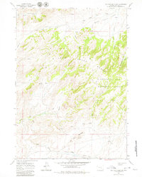
Miles Cabin and several sets of unnamed Ruins anchor the human presence in this high-altitude landscape within the Medicine Bow National Forest. Published in the early 1960s, the map reveals a remote territory dominated by the Deer Creek Range and the namesake Ice Cave Mountain, which features a specifically marked Ice Cave on its northern slope. The complex drainage system is clearly defined, with Bates Creek cutting through the southwest while the West Fork Deer Creek and Spruce Creek weave through the higher elevations. This survey captures a moment when travel through the canyons was largely restricted to a single Jeep Trail, providing an essential reference for understanding the mid-century ranching and forestry footprint in this corner of Natrona County.
Find a feature on this map
20 named features on this map. Tap any name to fly to it.
Don’t see what you’re looking for? This feature index may not catch every label — zoom into the map to look around manually.
Map Details
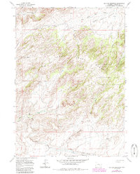
Editions of this 1960 Ice Cave Mountain Map
3 editions found
Other maps of this area

1955 · Casper
USGS Topo · 1:250,000

1958 · Casper
USGS Topo · 1:250,000

1959 · Squaw Spring
USGS Topo · 1:24,000

1959 · Bates Creek Reservoir
USGS Topo · 1:24,000

1960 · Crimson Dawn
USGS Topo · 1:24,000

1960 · Sheep Creek
USGS Topo · 1:24,000

1960 · Mud Springs
USGS Topo · 1:24,000

1960 · Banner Mtn
USGS Topo · 1:24,000
1960 · Otter Creek
USGS Topo · 1:24,000

1960 · Reno Hill
USGS Topo · 1:24,000