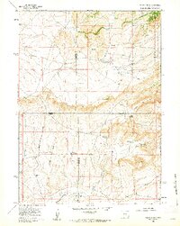
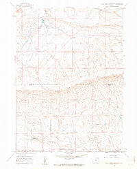
1959 Map of Squaw Spring
USGS Topo · Published 1962About this map
The Little Medicine Bow River winds through this high-country landscape at the intersection of four Wyoming counties, including Natrona and Albany. In the late 1950s, the area remained a remote ranching frontier defined by isolated outposts like Taylor Ranch and the Old Kamp Place. Family-named landmarks such as the Eggleston Homestead and Higginson Homestead mark the sparse settlement pattern, while a local Cem and the Little Medicine Sch serve as the focal points for the rural community.
Find a feature on this map
24 named features on this map. Tap any name to fly to it.
Don’t see what you’re looking for? This feature index may not catch every label — zoom into the map to look around manually.
Map Details
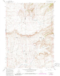
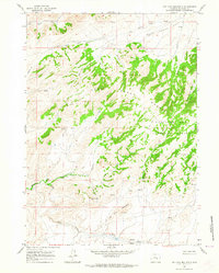
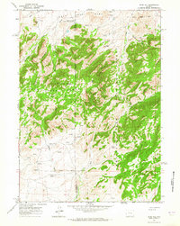
Editions of this 1959 Squaw Spring Map
2 editions found
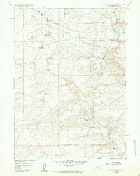
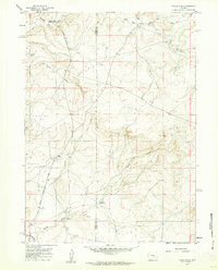
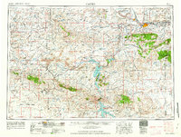
Other maps of this area

1954 · Torrington
USGS Topo · 1:250,000

1955 · Casper
USGS Topo · 1:250,000

1958 · Casper
USGS Topo · 1:250,000

1958 · Torrington
USGS Topo · 1:250,000
1959 · Moss Agate Reservoir
USGS Topo · 1:24,000
1959 · Chalk Hills
USGS Topo · 1:24,000
1959 · Bates Creek Reservoir
USGS Topo · 1:24,000
1960 · Ice Cave Mountain
USGS Topo · 1:24,000
1960 · Reno Hill
USGS Topo · 1:24,000
1962 · Casper
USGS Topo · 1:250,000