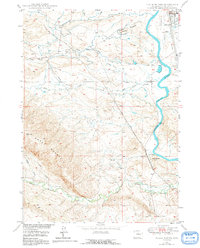
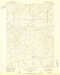
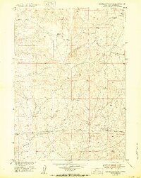
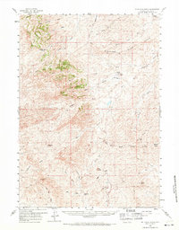
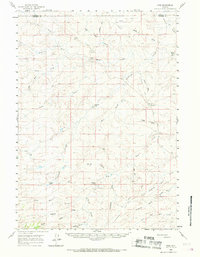
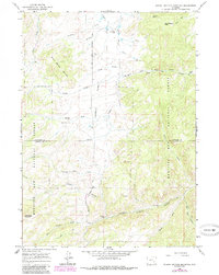
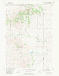
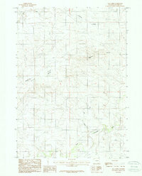
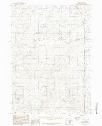
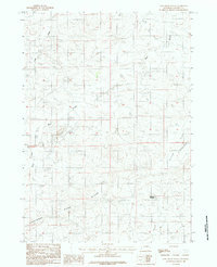
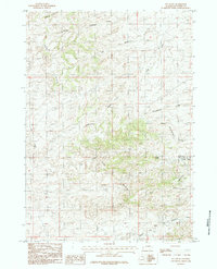
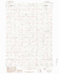
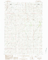
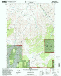
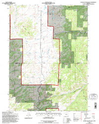
1959 Map of Squaw Spring
USGS Topo · Published 1985About this map
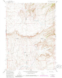
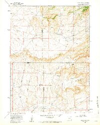
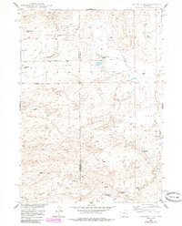
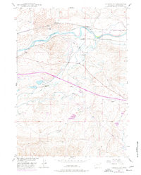
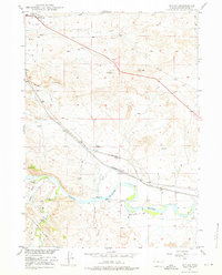
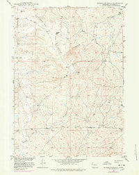
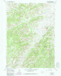
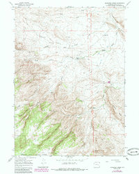
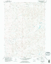
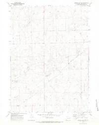
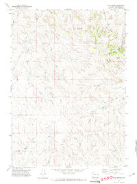
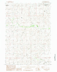
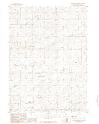
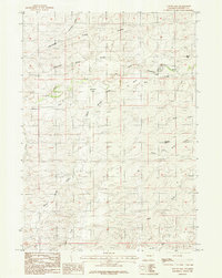
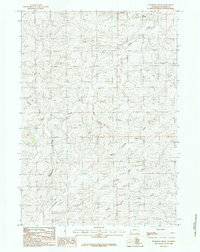
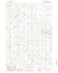
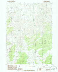
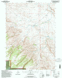
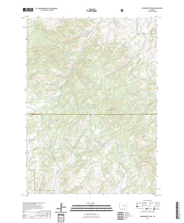
Family legacies and early ranching history are etched into the landscape of south-central Wyoming on this sheet, where the Higginson Homestead and Eggleston Homestead sit tucked among the draws north of the Little Medicine Bow River. The terrain is defined by the sharp drop-off of the Dugway Rim, a significant geological barrier that separates the higher plateaus from the creek-fed valleys below. This area, spanning the borders of Natrona, Converse, Carbon, and Albany counties, reflects a remote pastoral economy dependent on scattered water sources like Squaw Spring and Texas Creek. Cultural landmarks such as the Little Medicine Sch and a local Cem indicate a once-active community hub serving isolated ranching families. The presence of the Casper Medicine Bow Road and a remote Landing Strip highlights the vital transportation links required to navigate this portion of the Medicine Bow National Forest during the mid-20th century.
Find a feature on this map
25 named features on this map. Tap any name to fly to it.
Don’t see what you’re looking for? This feature index may not catch every label — zoom into the map to look around manually.
Map Details
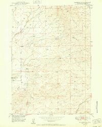
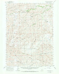
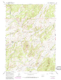
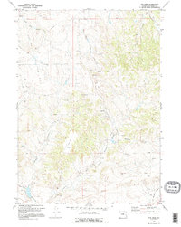
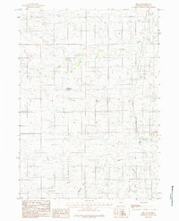
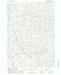
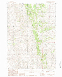
Editions of this 1959 Squaw Spring Map
2 editions found
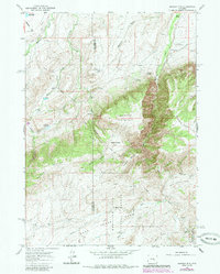
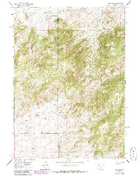
Historical Maps of Natrona County Through Time
203 maps found

1949 Antelope Creek
Converse County, WY
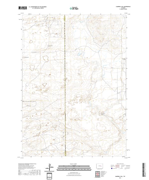
1949 Campbell Hill
Converse County, WY
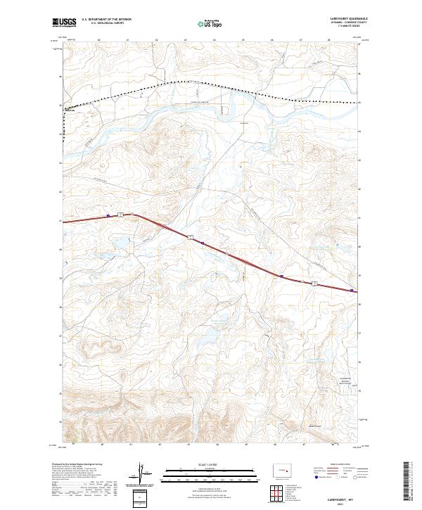
1949 Careyhurst
Converse County, WY
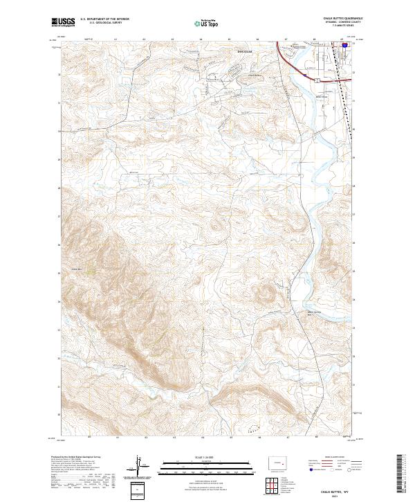
1949 Chalk Buttes
Converse County, WY
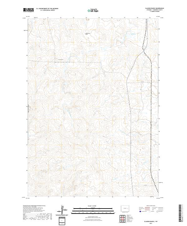
1949 Clausen Ranch
Converse County, WY

1949 Dilts Ranch
Converse County, WY
1949 Gilbert Lake
Converse County, WY
1949 Glenrock NW
Converse County, WY

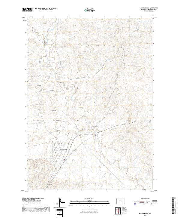
1949 Hylton Ranch
Converse County, WY
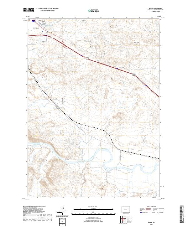
1949 Irvine
Converse County, WY
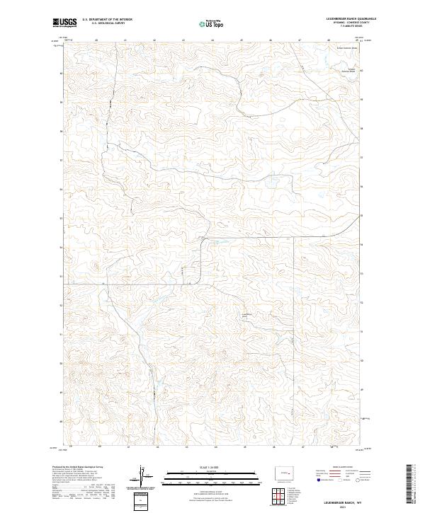
1949 Leuenberger Ranch
Converse County, WY
1949 Orpha
Converse County, WY
1949 Parkerton
Converse County, WY

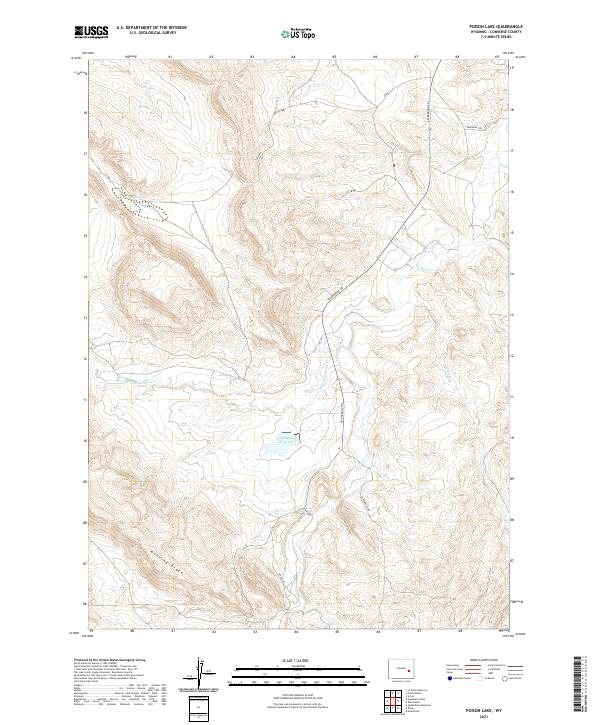
1949 Poison Lake
Converse County, WY

1949 Shawnee
Converse County, WY
1949 Sundquist Ranch
Converse County, WY

1950 Amend Ranch
Converse County, WY

1950 Antelope Creek
Converse County, WY

1950 Campbell Hill
Converse County, WY
1950 Careyhurst
Converse County, WY
1950 Chalk Buttes
Converse County, WY
1950 Clausen Ranch
Converse County, WY

1950 Dilts Ranch
Converse County, WY
1950 Gilbert Lake
Converse County, WY
1950 Glenrock NW
Converse County, WY

1950 Hylton Ranch
Converse County, WY

1950 Irvine
Converse County, WY
1950 Leuenberger Ranch
Converse County, WY

1950 Lockett
Converse County, WY
1950 Orpha
Converse County, WY

1950 Parkerton
Converse County, WY

1950 Poison Lake
Converse County, WY

1950 Shawnee
Converse County, WY
1950 Sundquist Ranch
Converse County, WY
1959 Betty Reservoir
Converse County, WY
1959 Bill
Converse County, WY
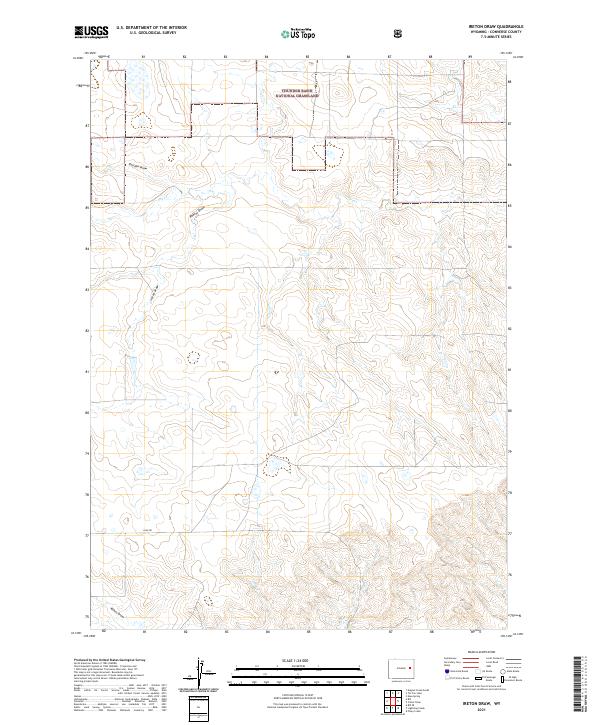
1959 Coal Draw
Converse County, WY
1959 Fifty-Five Ranch
Converse County, WY
1959 Highland Flats
Converse County, WY
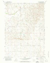
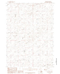
1959 Squaw Spring
Converse County, WY
1960 Banner Mtn
Converse County, WY
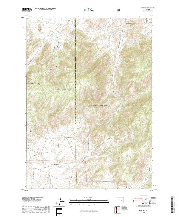
1960 Reno Hill
Converse County, WY
1960 Ross
Converse County, WY
1961 Lockett
Converse County, WY
1961 Shawnee
Converse County, WY
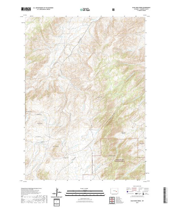
1964 Blue Nose Creek
Converse County, WY
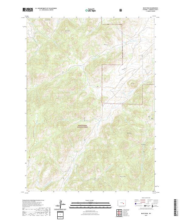
1964 Buck Peak
Converse County, WY
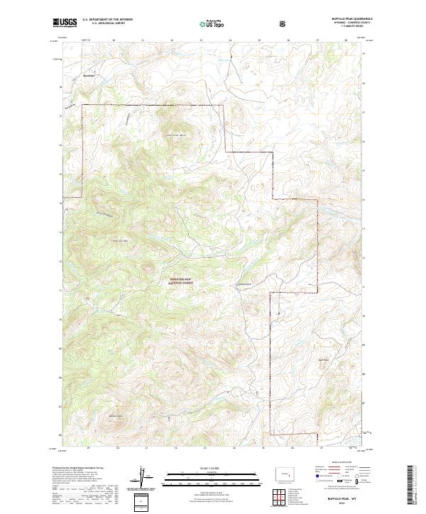
1964 Buffalo Peak
Converse County, WY
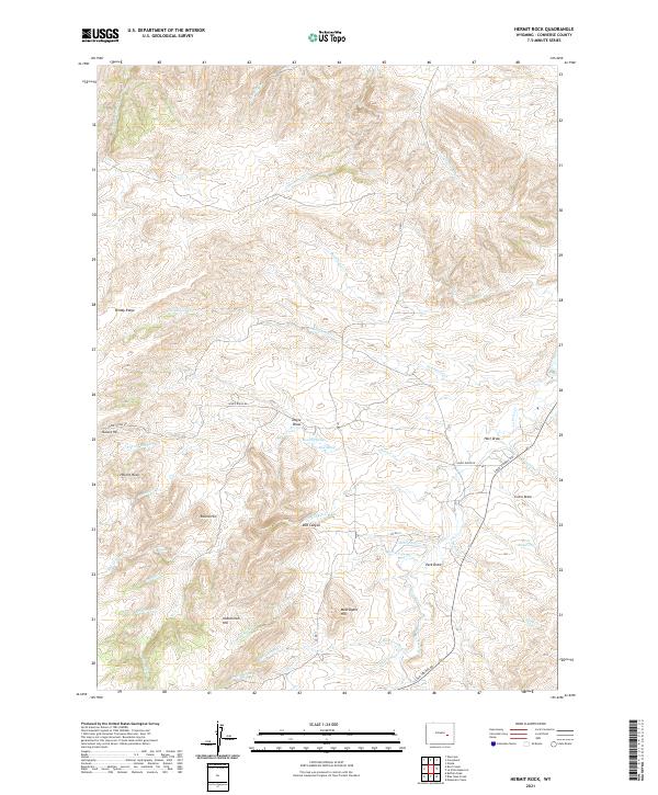
1964 Hermit Rock
Converse County, WY
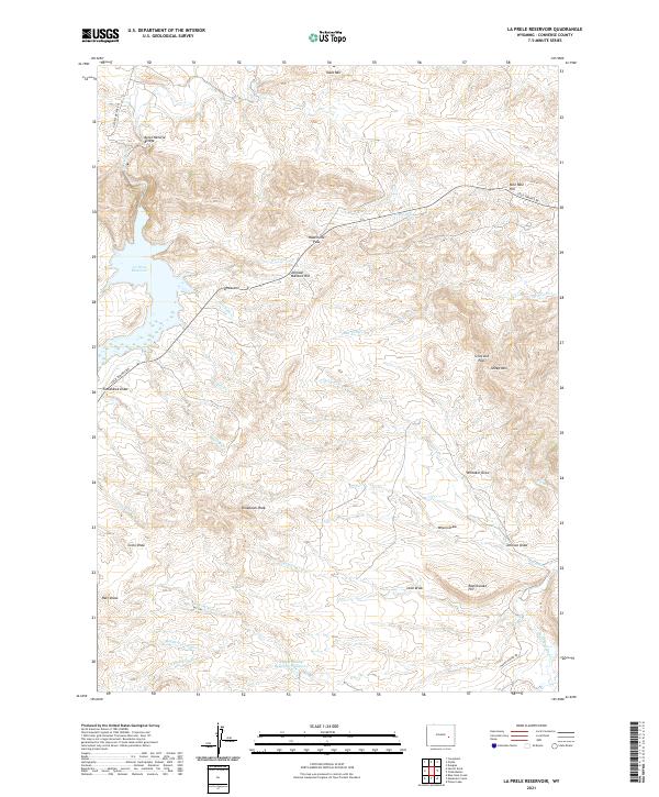
1964 La Prele Reservoir
Converse County, WY
1964 Maneater Creek
Converse County, WY
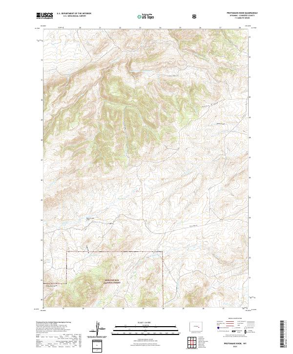
1964 Protsmans Knob
Converse County, WY

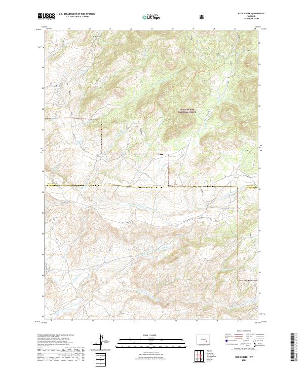
1964 Rock Creek
Converse County, WY
1964 Root Creek
Converse County, WY
1964 Saddleback Mountain
Converse County, WY
1964 School Section Mountain
Converse County, WY

1964 Warbonnet Peak
Converse County, WY
1964 Windy Peak
Converse County, WY
1970 Colter Draw
Converse County, WY
1970 Ireton Draw
Converse County, WY
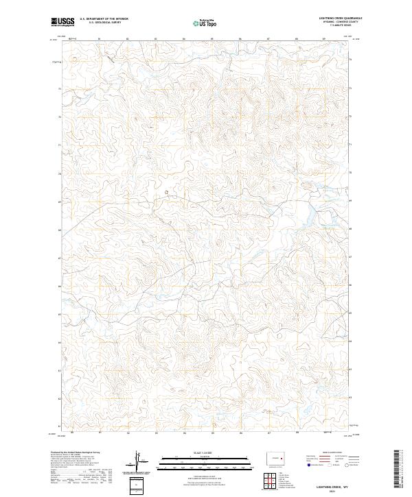
1970 Lightning Creek
Converse County, WY
1970 Lost Springs NW
Converse County, WY
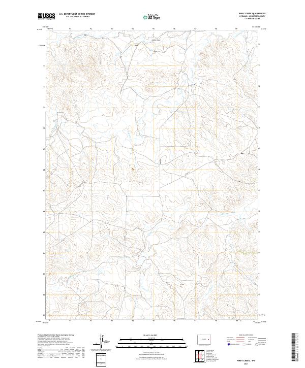
1970 Piney Creek
Converse County, WY
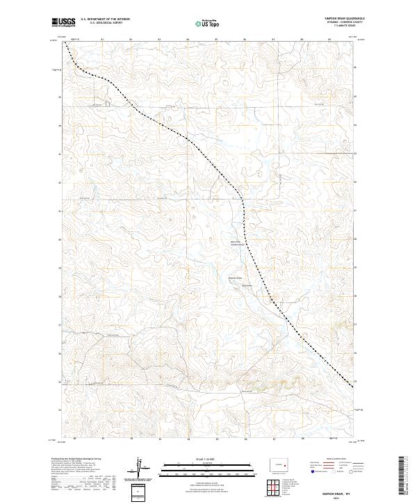
1970 Simpson Draw
Converse County, WY
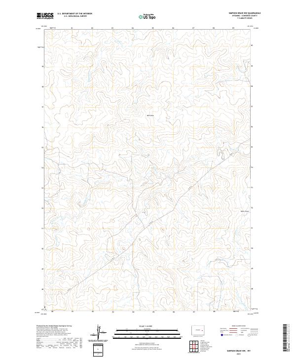
1970 Simpson Draw NW
Converse County, WY
1970 The Park
Converse County, WY
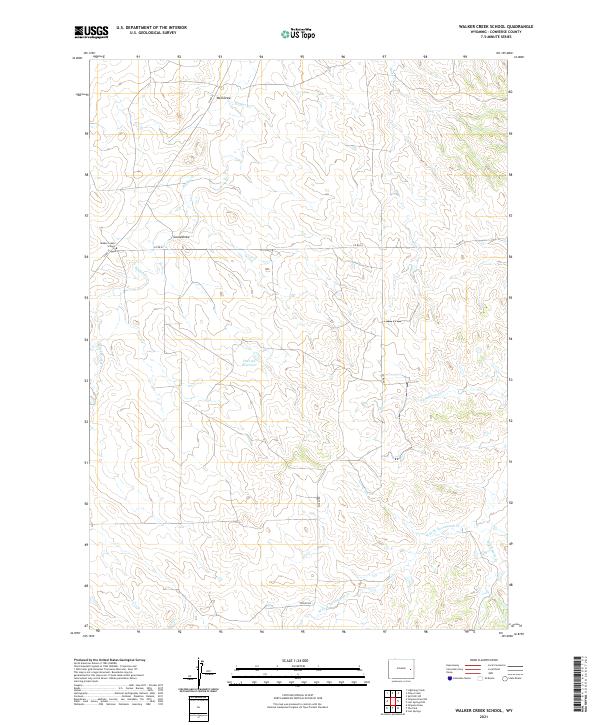
1970 Walker Creek School
Converse County, WY
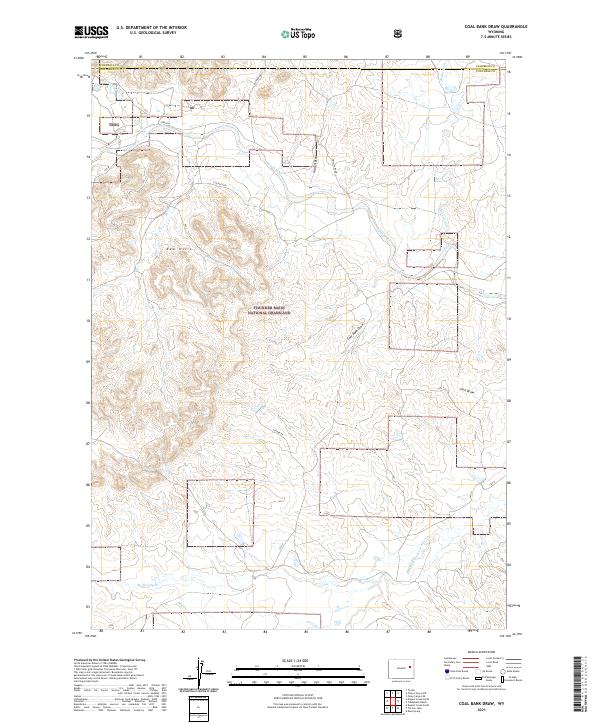
1971 Coal Bank Draw
Converse County, WY
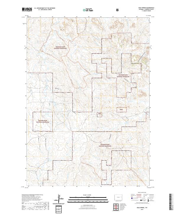
1971 Esau Spring
Converse County, WY

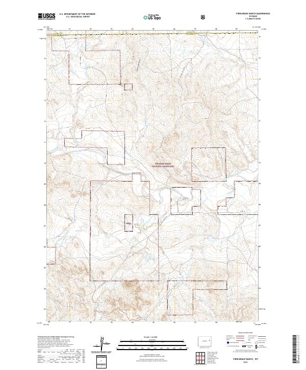
1971 Fiddleback Ranch
Converse County, WY
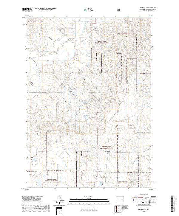
1971 Tin Can Lake
Converse County, WY
1973 Antelope Creek
Converse County, WY
1979 Bill
Converse County, WY
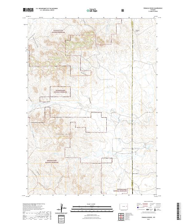
1981 Pinnacle Rocks
Converse County, WY
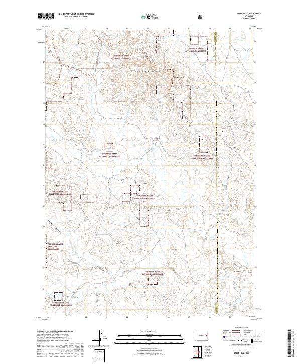
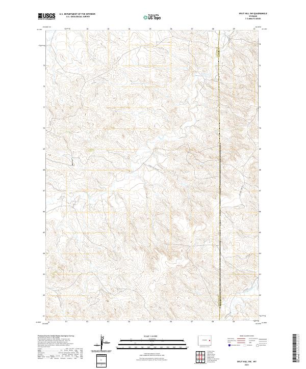
1981 Split Hill
Converse County, WY
1981 Split Hill SW
Converse County, WY
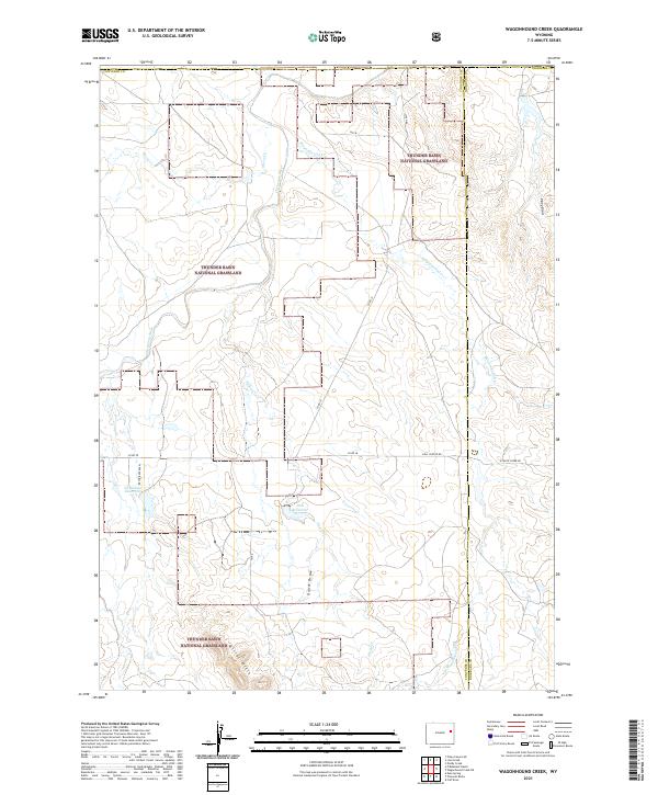
1981 Wagonhound Creek
Converse County, WY
1984 Alta Creek
Converse County, WY
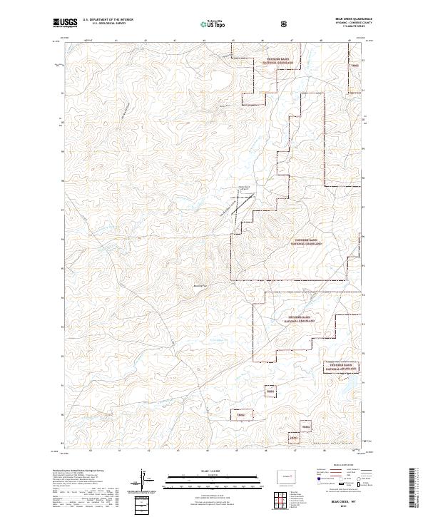
1984 Bear Creek
Converse County, WY
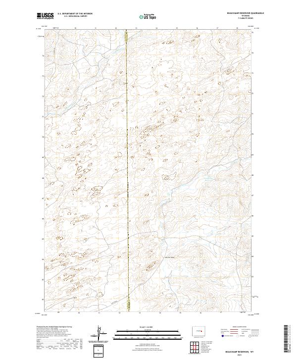
1984 Beauchamp Reservoir
Converse County, WY
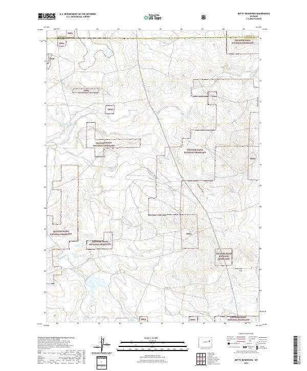
1984 Betty Reservoir
Converse County, WY
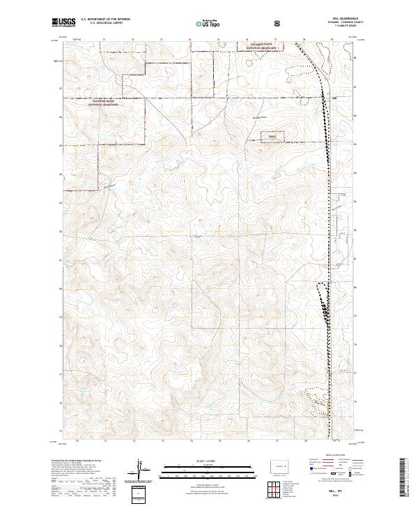
1984 Bill
Converse County, WY
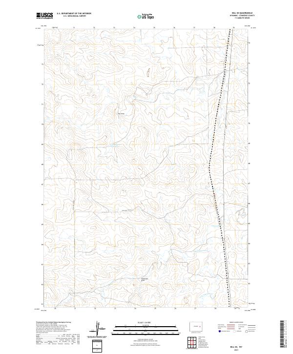
1984 Bill SE
Converse County, WY
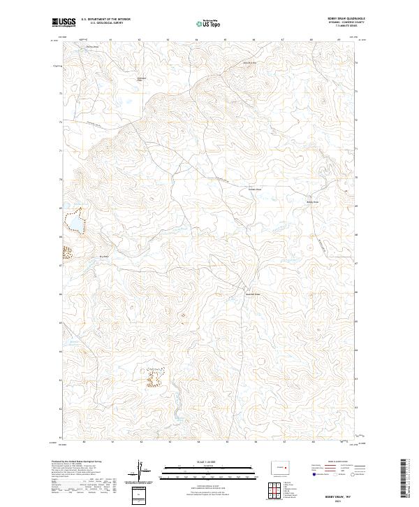
1984 Bobby Draw
Converse County, WY
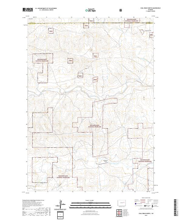
1984 Coal Draw North
Converse County, WY
1984 Coal Draw South
Converse County, WY
1984 Coal Hill
Converse County, WY
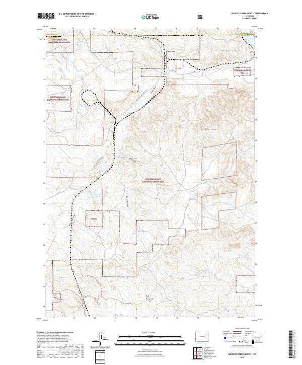
1984 Dugout Creek North
Converse County, WY
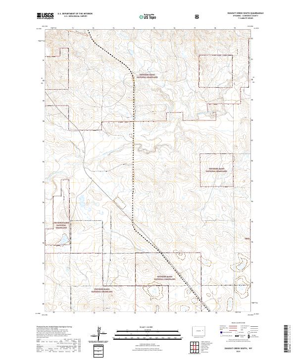
1984 Dugout Creek South
Converse County, WY
1984 Fly Draw
Converse County, WY
1984 Gillam Draw East
Converse County, WY
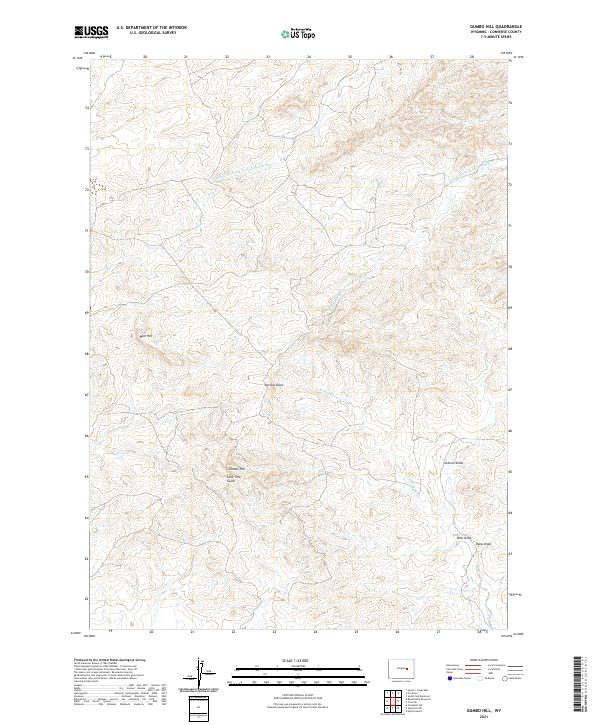
1984 Gumbo Hill
Converse County, WY
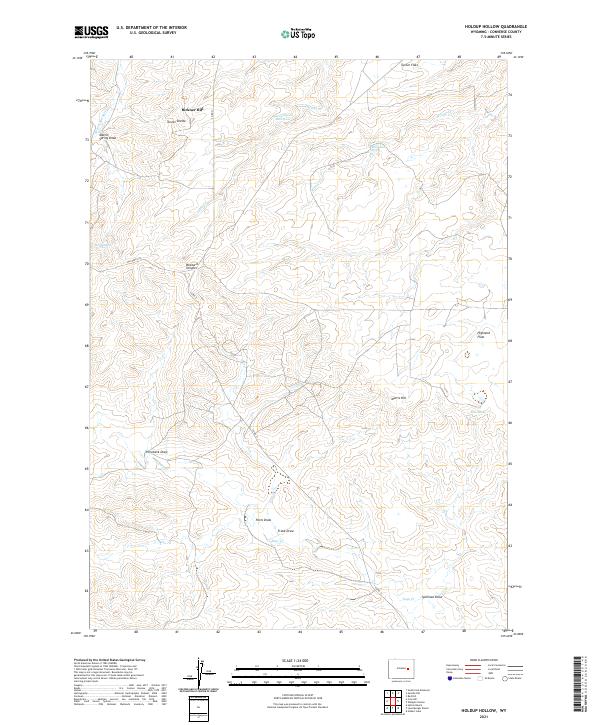
1984 Holdup Hollow
Converse County, WY
1984 Macken Draw
Converse County, WY
1984 Marsh Draw
Converse County, WY
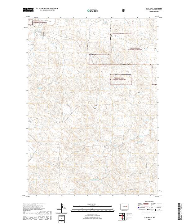
1984 Patsy Draw
Converse County, WY
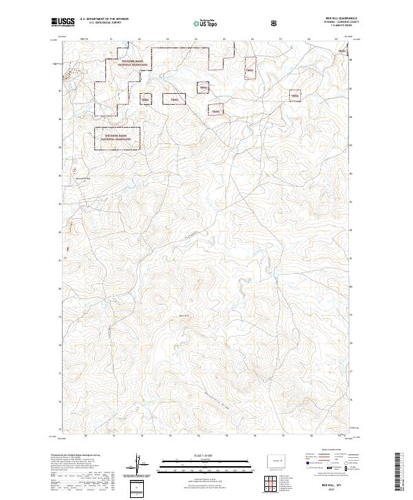
1984 Red Hill
Converse County, WY
1984 Ross
Converse County, WY
1984 Ross Flat
Converse County, WY
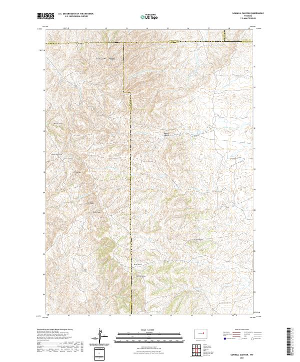
1984 Sawmill Canyon
Converse County, WY
1984 Seven L Creek East
Converse County, WY
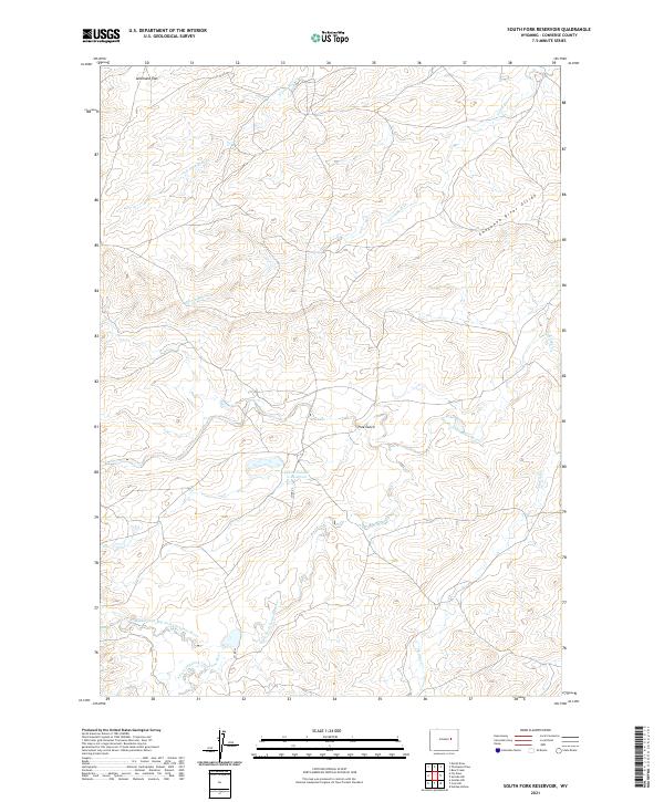
1984 South Fork Reservoir
Converse County, WY
1984 Suicide Hill
Converse County, WY
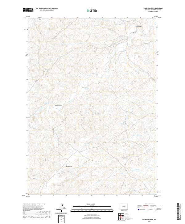
1984 Thompson Draw
Converse County, WY
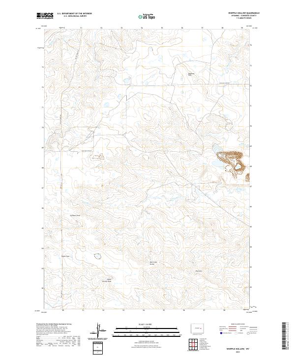
1984 Whipple Hollow
Converse County, WY
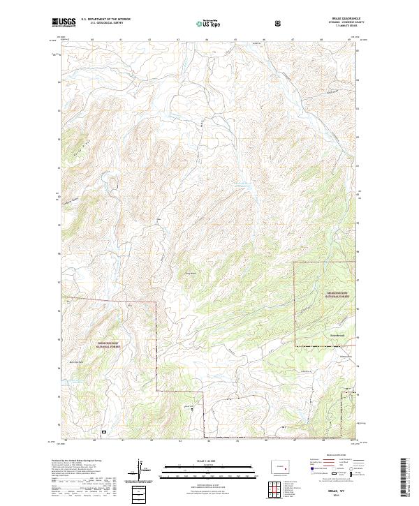
1985 Braae
Converse County, WY
1985 Laramie Peak
Converse County, WY
1992 Banner Mtn
Converse County, WY
1992 Blue Nose Creek
Converse County, WY
1992 Braae
Converse County, WY
1992 Buck Peak
Converse County, WY
1992 Buffalo Peak
Converse County, WY
1992 Laramie Peak
Converse County, WY
1992 Maneater Creek
Converse County, WY
1992 Protsmans Knob
Converse County, WY
1992 Reno Hill
Converse County, WY

1992 Rock Creek
Converse County, WY
1992 Saddleback Mtn
Converse County, WY
1992 School Section Mtn
Converse County, WY
1992 Squaw Spring
Converse County, WY
1992 Warbonnet Peak
Converse County, WY
1992 Windy Peak
Converse County, WY
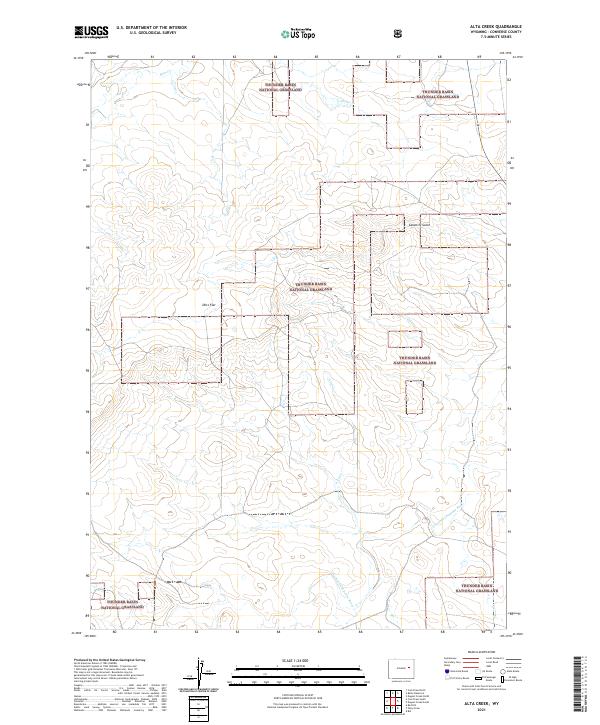
2021 Alta Creek
Converse County, WY
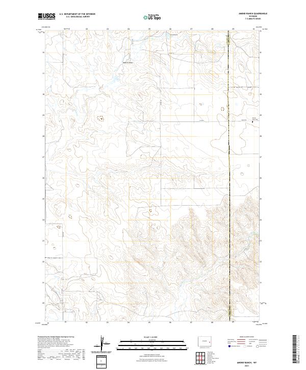
2021 Amend Ranch
Converse County, WY
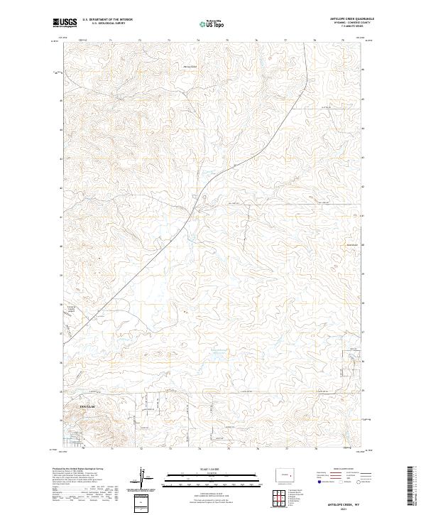
2021 Antelope Creek
Converse County, WY
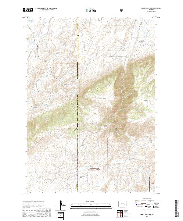
2021 Banner Mountain
Converse County, WY
2021 Bear Creek
Converse County, WY
2021 Beauchamp Reservoir
Converse County, WY
2021 Betty Reservoir
Converse County, WY
2021 Bill
Converse County, WY
2021 Bill SE
Converse County, WY
2021 Blue Nose Creek
Converse County, WY
2021 Bobby Draw
Converse County, WY
2021 Braae
Converse County, WY
2021 Buck Peak
Converse County, WY
2021 Buffalo Peak
Converse County, WY
2021 Campbell Hill
Converse County, WY
2021 Careyhurst
Converse County, WY
2021 Chalk Buttes
Converse County, WY
2021 Clausen Ranch
Converse County, WY
2021 Coal Bank Draw
Converse County, WY
2021 Coal Draw North
Converse County, WY
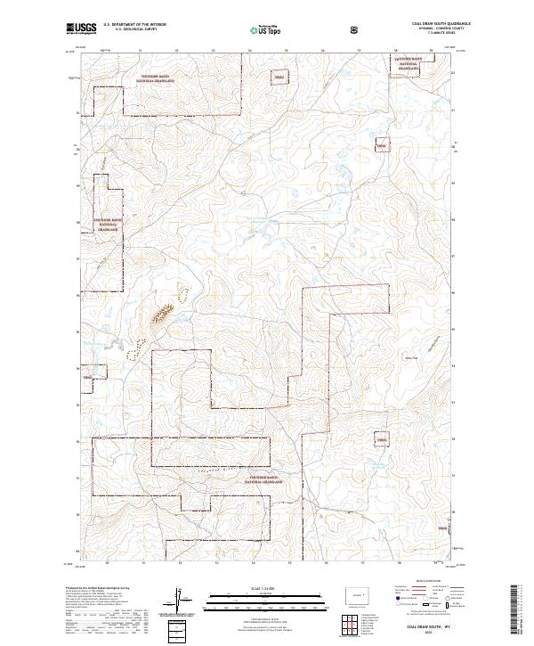
2021 Coal Draw South
Converse County, WY
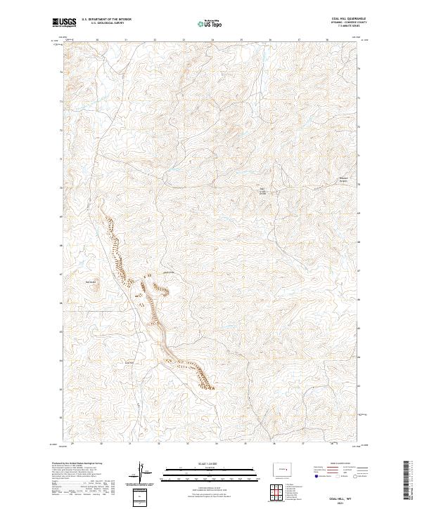
2021 Coal Hill
Converse County, WY
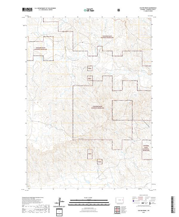
2021 Colter Draw
Converse County, WY
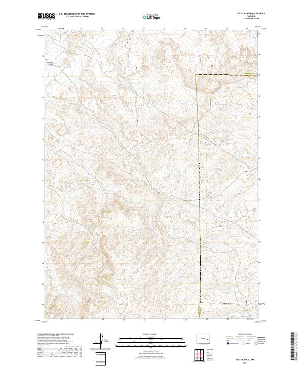
2021 Dilts Ranch
Converse County, WY
2021 Dugout Creek North
Converse County, WY
2021 Dugout Creek South
Converse County, WY
2021 Esau Spring
Converse County, WY
2021 Fiddleback Ranch
Converse County, WY
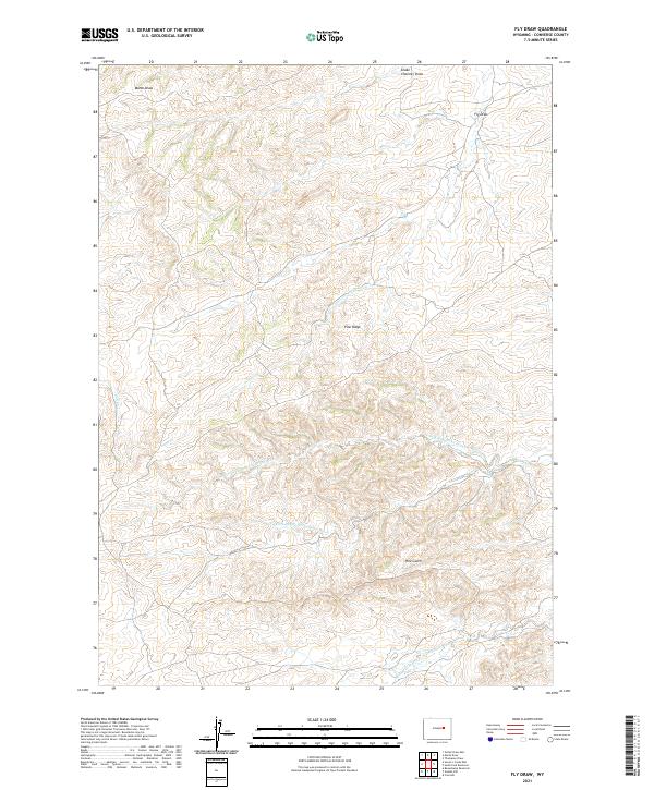
2021 Fly Draw
Converse County, WY
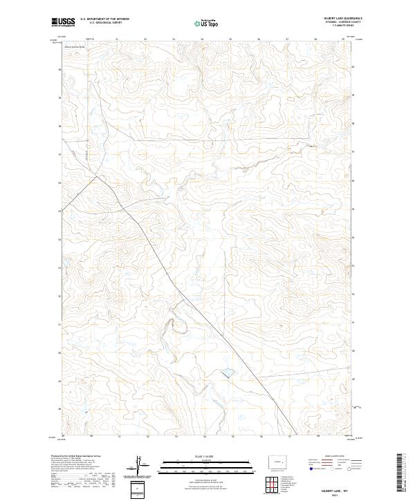
2021 Gilbert Lake
Converse County, WY
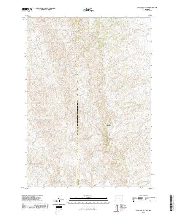
2021 Gillam Draw East
Converse County, WY
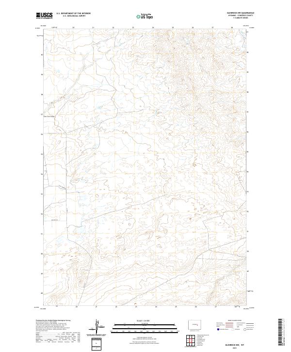
2021 Glenrock NW
Converse County, WY
2021 Gumbo Hill
Converse County, WY
2021 Hermit Rock
Converse County, WY
2021 Holdup Hollow
Converse County, WY
2021 Hylton Ranch
Converse County, WY
2021 Ireton Draw
Converse County, WY
2021 Irvine
Converse County, WY
2021 La Prele Reservoir
Converse County, WY
2021 Leuenberger Ranch
Converse County, WY
2021 Lightning Creek
Converse County, WY
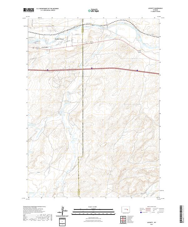
2021 Lockett
Converse County, WY
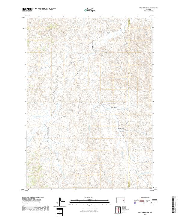
2021 Lost Springs NW
Converse County, WY
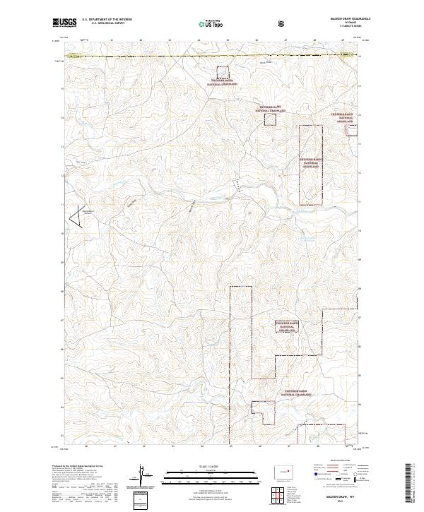
2021 Macken Draw
Converse County, WY
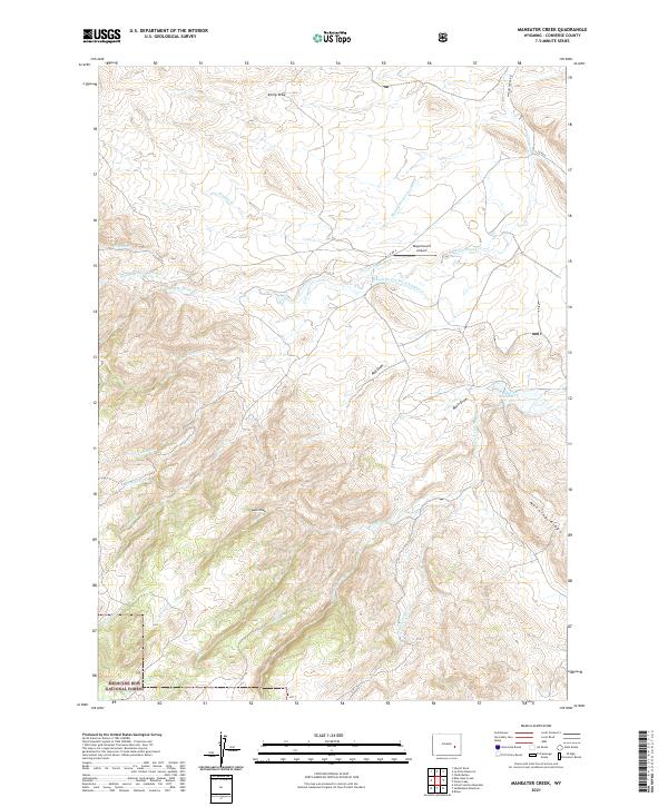
2021 Maneater Creek
Converse County, WY
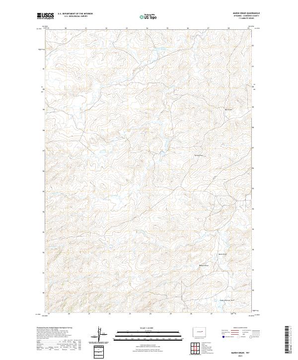
2021 Marsh Draw
Converse County, WY
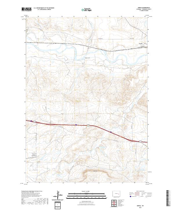
2021 Orpha
Converse County, WY
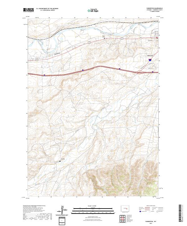
2021 Parkerton
Converse County, WY
2021 Patsy Draw
Converse County, WY
2021 Piney Creek
Converse County, WY
2021 Pinnacle Rocks
Converse County, WY
2021 Poison Lake
Converse County, WY
2021 Protsmans Knob
Converse County, WY
2021 Red Hill
Converse County, WY
2021 Reno Hill
Converse County, WY
2021 Rock Creek
Converse County, WY
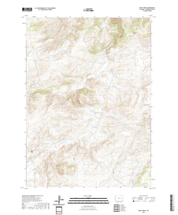
2021 Root Creek
Converse County, WY
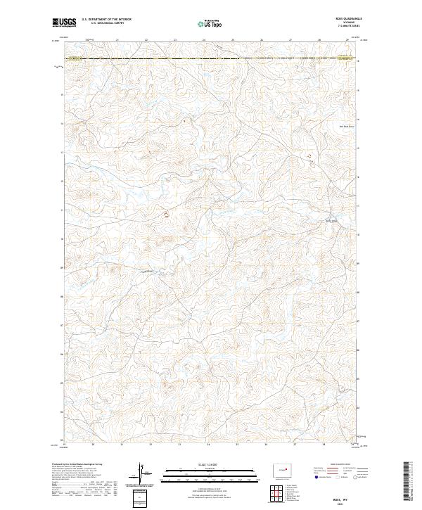
2021 Ross
Converse County, WY
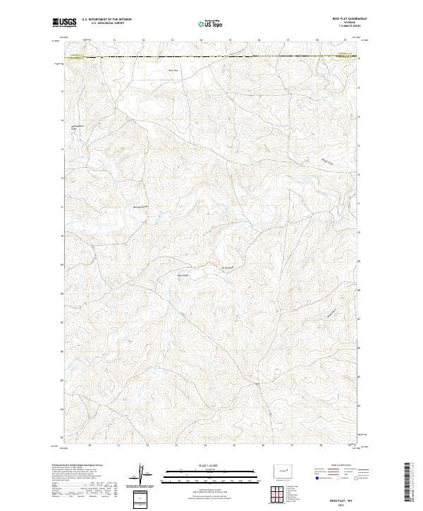
2021 Ross Flat
Converse County, WY
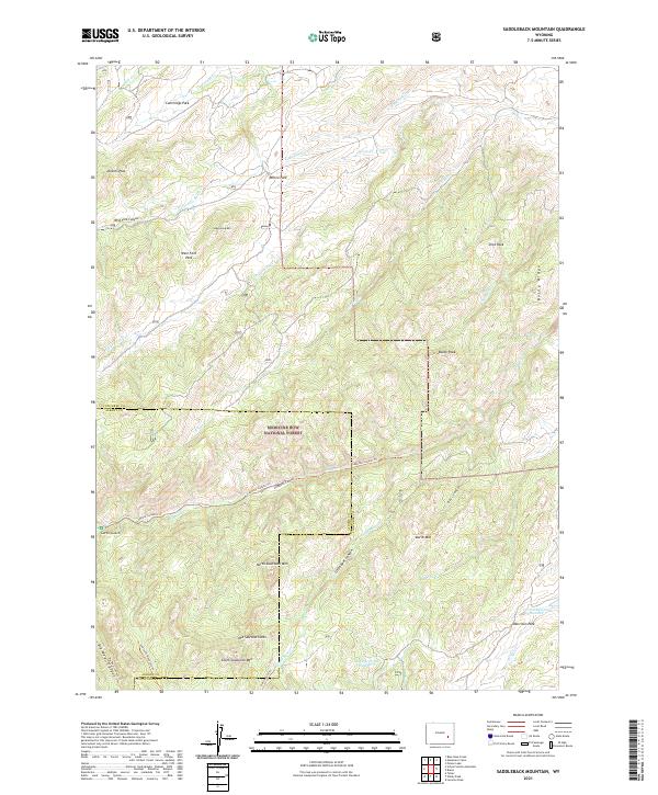
2021 Saddleback Mountain
Converse County, WY
2021 Sawmill Canyon
Converse County, WY
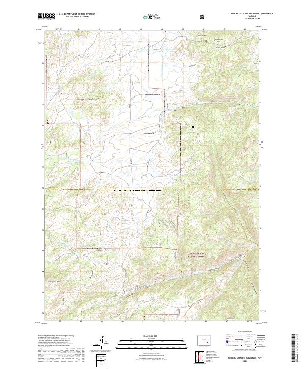
2021 School Section Mountain
Converse County, WY
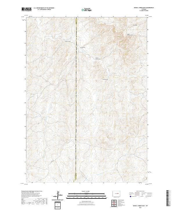
2021 Seven L Creek East
Converse County, WY
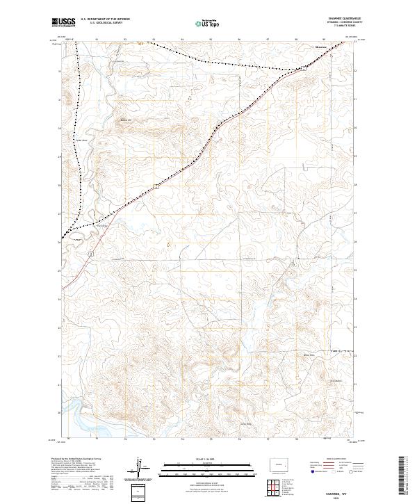
2021 Shawnee
Converse County, WY
2021 Simpson Draw
Converse County, WY
2021 Simpson Draw NW
Converse County, WY
2021 South Fork Reservoir
Converse County, WY
2021 Split Hill
Converse County, WY
2021 Split Hill SW
Converse County, WY
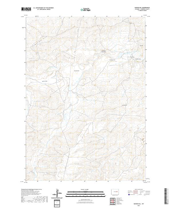
2021 Suicide Hill
Converse County, WY
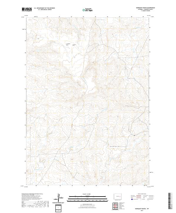
2021 Sundquist Ranch
Converse County, WY
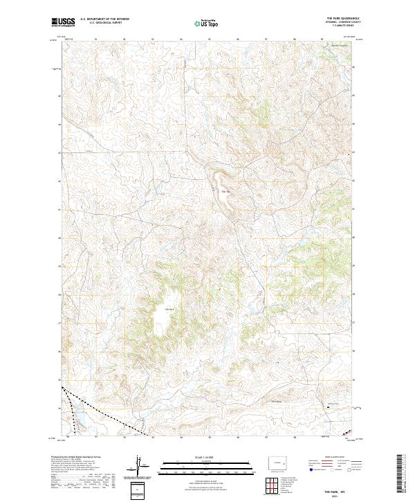
2021 The Park
Converse County, WY
2021 Thompson Draw
Converse County, WY
2021 Tin Can Lake
Converse County, WY
2021 Wagonhound Creek
Converse County, WY
2021 Walker Creek School
Converse County, WY
2021 Whipple Hollow
Converse County, WY
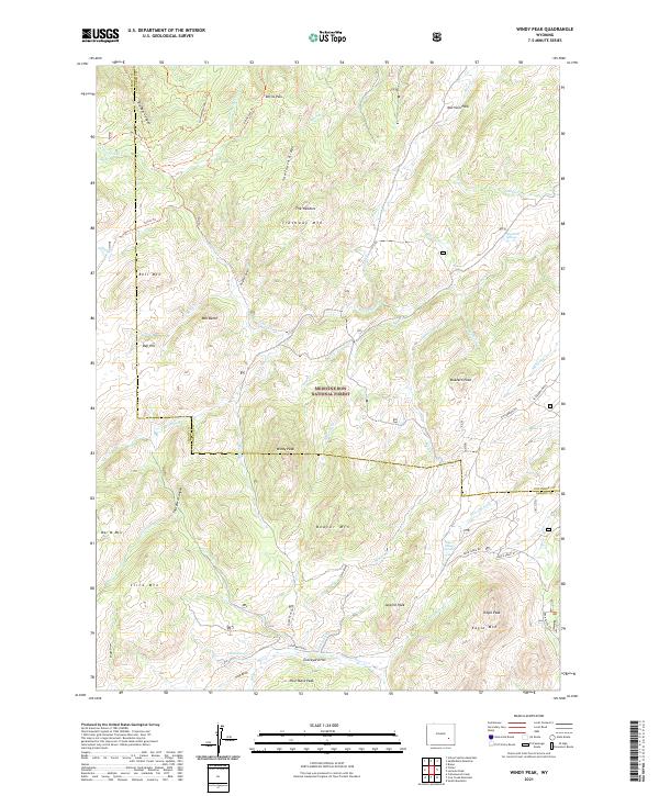
2021 Windy Peak
Converse County, WY
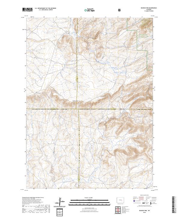
2023 Dugway Rim
Converse County, WY
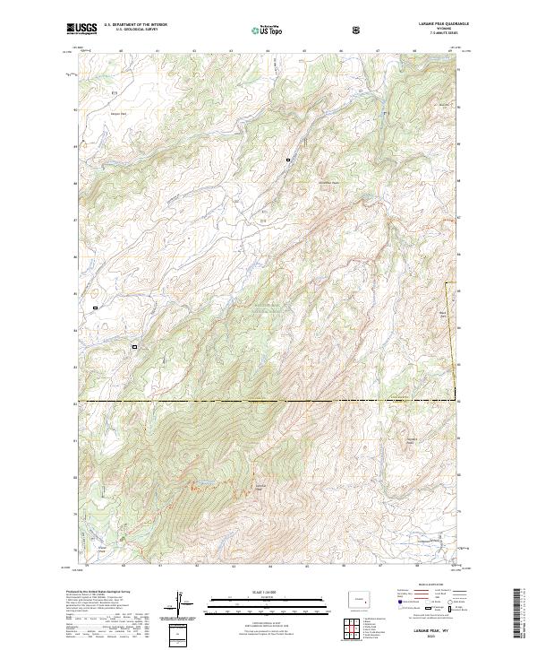
2023 Laramie Peak
Converse County, WY
2023 Warbonnett Peak
Converse County, WY