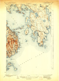
1942 Map of Bar Harbor
USGS Topo · Published 1942About this map
Cadillac Mtn and the coastal village of Bar Harbor anchor this study of the Maine shoreline just before the mid-century. The landscape is defined by the sharp transition from the granite heights of Mount Desert Island—including Flying Squadron Mtn and Pemetic Mtn—to the intricate maze of Flanders Bay and the Gouldsboro Peninsula. Local history is preserved in the placement of coastal settlements like Winter Harbor, Sorrento, and Gerrishville, alongside numerous maritime landmarks such as Stave Island and the isolated Islesford on the Cranberry Isles. The presence of Sieur de Monts Spring and the winding route of The Loop reveal early tourism and conservation footprints. This 1942 edition, based on surveys from the 1930s, captures the region's character as a network of fishing harbors and summer colonies before significant post-war development.
Find a feature on this map
190 named features on this map. Tap any name to fly to it.
Don’t see what you’re looking for? This feature index may not catch every label — zoom into the map to look around manually.
Map Details
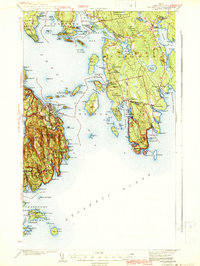
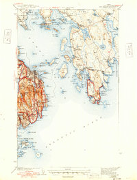
Editions of this 1942 Bar Harbor Map
4 editions found

Other maps of this area

1902 · Cherryfield
USGS Topo · 1:62,500

1904 · Cherryfield
USGS Topo · 1:62,500

1904 · Mount Desert
USGS Topo · 1:62,500

1904 · Swan Island
USGS Topo · 1:62,500

1904 · Bar Harbor
USGS Topo · 1:62,500

1904 · Petit Manan
USGS Topo · 1:62,500

1911 · Ellsworth
USGS Topo · 1:62,500

1930 · Tunk Lake
USGS Topo · 1:48,000

1932 · Tunk Lake
USGS Topo · 1:62,500

1940 · Ellsworth
USGS Topo · 1:62,500