
1942 Map of Bar Harbor
USGS Topo · Published 1942About this map
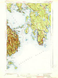
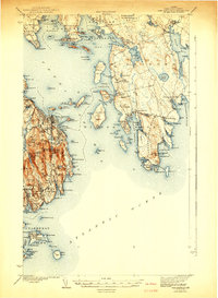
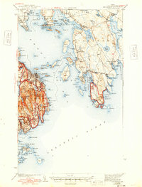
Acadia National Park dominates the Mount Desert Island landscape in this early 1940s survey, showing the complex interaction between its granite peaks and the coastal villages of Bar Harbor and Seal Harbor. The map captures a maritime economy defined by dozens of coves and harbors, from the protected waters of Sorrento Harbor and Flanders Bay to the exposed reaches of Prospect Harbor. The intricate archipelago of Frenchman Bay is visible in remarkable detail, including Long Porcupine I and the isolated Stave Island.
Find a feature on this map
165 named features on this map. Tap any name to fly to it.
Don’t see what you’re looking for? This feature index may not catch every label — zoom into the map to look around manually.
Map Details
Editions of this 1942 Bar Harbor Map
4 editions found
Other maps of this area

1902 · Cherryfield
USGS Topo · 1:62,500

1904 · Cherryfield
USGS Topo · 1:62,500

1904 · Mount Desert
USGS Topo · 1:62,500

1904 · Swan Island
USGS Topo · 1:62,500

1904 · Bar Harbor
USGS Topo · 1:62,500

1904 · Petit Manan
USGS Topo · 1:62,500

1911 · Ellsworth
USGS Topo · 1:62,500

1930 · Tunk Lake
USGS Topo · 1:48,000

1932 · Tunk Lake
USGS Topo · 1:62,500

1940 · Ellsworth
USGS Topo · 1:62,500