
1956 Map of Bar Harbor
USGS Topo · Published 1960About this map
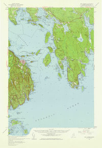
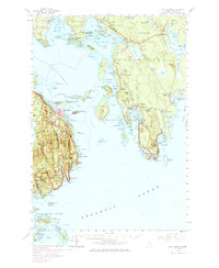
Acadia National Park dominates this mid-century coastal survey, covering the iconic peaks of Mount Desert and the shoreline of Frenchman Bay. The map documents the intricate island-and-inlet geography of Hancock County, from the high summit of Cadillac Mtn down to the seafaring communities of Bar Harbor and Winter Harbor. Beyond the mainland, the Cranberry Isles are shown in detail, including the settlement of Islesford and several navigational aids.
Find a feature on this map
61 named features on this map. Tap any name to fly to it.
Don’t see what you’re looking for? This feature index may not catch every label — zoom into the map to look around manually.
Map Details
Editions of this 1956 Bar Harbor Map
3 editions found
Other maps of this area

1902 · Cherryfield
USGS Topo · 1:62,500

1904 · Cherryfield
USGS Topo · 1:62,500

1904 · Mount Desert
USGS Topo · 1:62,500

1904 · Swan Island
USGS Topo · 1:62,500

1904 · Bar Harbor
USGS Topo · 1:62,500

1904 · Petit Manan
USGS Topo · 1:62,500

1911 · Ellsworth
USGS Topo · 1:62,500

1930 · Tunk Lake
USGS Topo · 1:48,000

1932 · Tunk Lake
USGS Topo · 1:62,500

1940 · Ellsworth
USGS Topo · 1:62,500