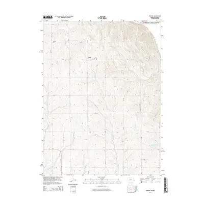
2014 Map of Barada
USGS Topo · Published 2014About this map
The Missouri River creates the northeastern boundary of this landscape, where the bluffs and hills of Richardson County meet the river's edge. The small village of Barada serves as the central settlement point, surrounded by a dense grid of rural roads and an unusually high concentration of pioneer and family burial grounds. These sites, including Harris Cem and Saint Anns Cem near the town center, along with Moorhead Cem and Berg Cem further afield, offer significant data for genealogical research in this pocket of Southeast Nebraska.
Find a feature on this map
38 named features on this map. Tap any name to fly to it.
Don’t see what you’re looking for? This feature index may not catch every label — zoom into the map to look around manually.
Map Details
Editions of this 2014 Barada Map
This is the sole edition of this map. No revisions or reprints were ever made.
Other maps of this area

1915 · Falls City
USGS Topo · 1:62,500

1915 · Nemaha
USGS Topo · 1:62,500

1920 · Craig
USGS Topo · 1:62,500

1936 · Fairfax
USGS Topo · 1:24,000

1939 · Tarkio
USGS Topo · 1:62,500

1939 · Nemaha
USGS Topo · 1:62,500

1940 · Tarkio
USGS Topo · 1:62,500

1941 · Tarkio
USGS Topo · 1:62,500

1949 · Nemaha
USGS Topo · 1:62,500

1955 · Nebraska City
USGS Topo · 1:250,000