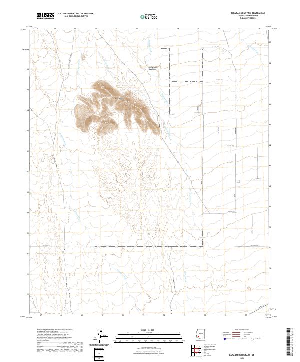
2021 Map of Baragan Mountain
USGS Topo · Published 2021About this map
Baragan Mtn dominates this arid landscape in eastern Yuma County, serving as a central topographic anchor for a series of drainage systems. Ephemeral waterways including Red Raven Wash and Clanton Wash trace paths through the basin, illustrating the natural hydrological patterns of the desert. The terrain is marked by a network of sectional roads and historical routes like Palomas Harquahala Rd, reflecting the sparse but deliberate infrastructure required for land management and travel. In the north, Stone Cabin Gap Wash and Deadman Wash carve through the foothills, while the southern edge is defined by the corridor along Hyder Rd. The layout provides a clear view of the township and range system, specifically within T3S through T5S, showing how the desert floor was partitioned into manageable grids despite its primary character as an open natural expanse.
Find a feature on this map
21 named features on this map. Tap any name to fly to it.
Don’t see what you’re looking for? This feature index may not catch every label — zoom into the map to look around manually.
Map Details
Editions of this 2021 Baragan Mountain Map
This is the sole edition of this map. No revisions or reprints were ever made.
Other maps of this area

1927 · Hyder
USGS Topo · 1:62,500

1929 · Aztec
USGS Topo · 1:62,500

1930 · Stoval
USGS Topo · 1:62,500

1930 · Hyder
USGS Topo · 1:62,500

1942 · Vicksburg
USGS Topo · 1:250,000

1950 · Stoval
USGS Topo · 1:62,500

1950 · Aztec
USGS Topo · 1:62,500

1953 · Ajo
USGS Topo · 1:250,000

1954 · Phoenix
USGS Topo · 1:250,000

1957 · Ajo
USGS Topo · 1:250,000