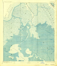
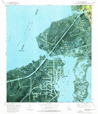
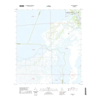
1892 Map of Barataria
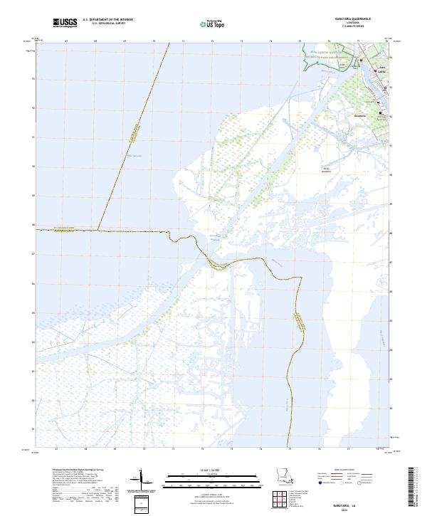
USGS Topo · Published 1931About this map
Barataria sits at the heart of this coastal wetland landscape, where the intricate network of waterways defined the life and transport of the late nineteenth century. The map reveals the sinuous paths of Bayou Perot and Bayou Rigolettes as they snake through the marsh towards the southern basins. To the west, the expansive Lake Ouacha or Salvador dominates the horizon, while the eastern edge is marked by a narrow strip of development along the Mississippi River, including the tracks of the N. O. F. J. & G. I. R. R.
Find a feature on this map
19 named features on this map. Tap any name to fly to it.
Don’t see what you’re looking for? This feature index may not catch every label — zoom into the map to look around manually.
Map Details
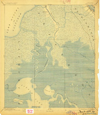
Editions of this 1892 Barataria Map
3 editions found

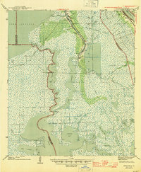
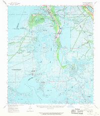
Historical Maps of Jean Lafitte Through Time
10 maps found
1892 Barataria
Jefferson Parish, LA

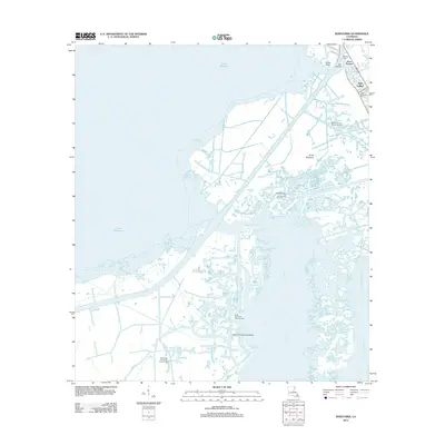
1941 Barataria
Jefferson Parish, LA
1944 Barataria
Jefferson Parish, LA
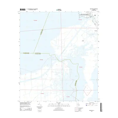
1962 Barataria
Jefferson Parish, LA
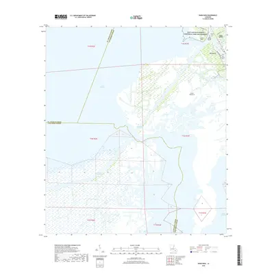
1973 Barataria
Jefferson Parish, LA
2012 Barataria
Jefferson Parish, LA
2015 Barataria
Jefferson Parish, LA
2018 Barataria
Jefferson Parish, LA
2020 Barataria
Jefferson Parish, LA
2024 Barataria
Jefferson Parish, LA