
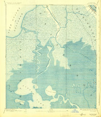
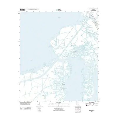
1941 Map of Barataria
USGS Topo · Published 1941About this map
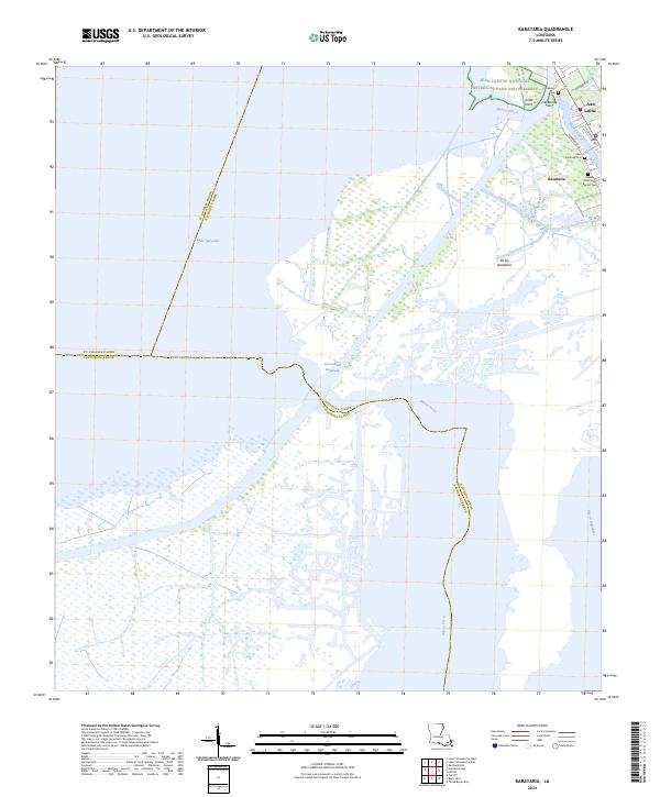
Mississippi R meanders through the northeast corner of this coastal landscape, bordered by settlements like Jesuit Bend and Gloria. Surveyed just before the Second World War, the map documents a transition between the river-bound communities and the deep wetlands of the delta. The fishing and trapping hub of Barataria sits at a strategic junction near the Lafitte P O, where local education was anchored by Fisher Sch No 1 and Fisher Sch No 2.
Find a feature on this map
50 named features on this map. Tap any name to fly to it.
Don’t see what you’re looking for? This feature index may not catch every label — zoom into the map to look around manually.
Map Details
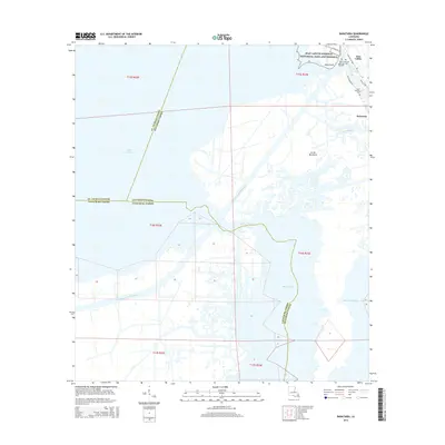
Editions of this 1941 Barataria Map
This is the sole edition of this map. No revisions or reprints were ever made.
Historical Maps of Jean Lafitte Through Time
10 maps found
1892 Barataria
Jefferson Parish, LA
1941 Barataria
Jefferson Parish, LA
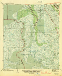
1944 Barataria
Jefferson Parish, LA
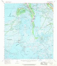
1962 Barataria
Jefferson Parish, LA
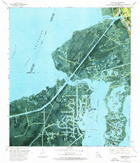
1973 Barataria
Jefferson Parish, LA
2012 Barataria
Jefferson Parish, LA
2015 Barataria
Jefferson Parish, LA
2018 Barataria
Jefferson Parish, LA
2020 Barataria
Jefferson Parish, LA
2024 Barataria
Jefferson Parish, LA