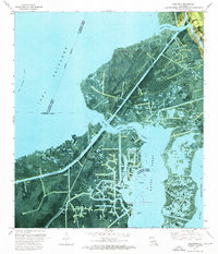
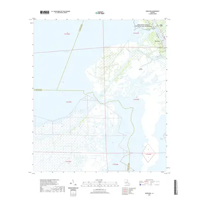
1962 Map of Barataria
USGS Topo · Published 1969About this map
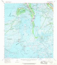
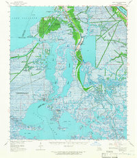
Barataria and Lafitte serve as the primary hubs of this coastal Louisiana landscape, situated along the Bayou Barataria as it winds toward the Gulf. This 1962 topographic survey reveals an economy deeply tied to both the water and the earth, featuring an extensive network of mineral extraction sites such as the South Barataria Oil and Gas Field and the Manila Village Oil Field. The cultural footprint of these communities is preserved through numerous family-named and community landmarks, including Sacred Heart Ch, St Anthony Ch, and several small burial grounds like Fleming Cem and Little Village Cem. To the west, the expansive waters of Lake Salvador dominate the horizon, while the eastern edge is defined by the Mississippi River near Ollie and Gloria. The map details the intricate hydrography of the region, from the Intracoastal Waterway to the maze of bayous and canals that supported local navigation and industry.
Find a feature on this map
61 named features on this map. Tap any name to fly to it.
Don’t see what you’re looking for? This feature index may not catch every label — zoom into the map to look around manually.
Map Details
Editions of this 1962 Barataria Map
2 editions found
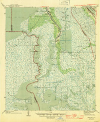
Historical Maps of Jean Lafitte Through Time
10 maps found
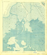
1892 Barataria
Jefferson Parish, LA

1941 Barataria
Jefferson Parish, LA
1944 Barataria
Jefferson Parish, LA
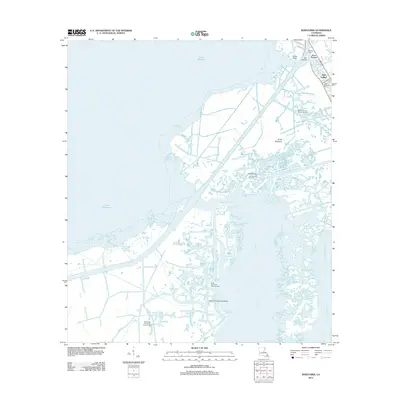
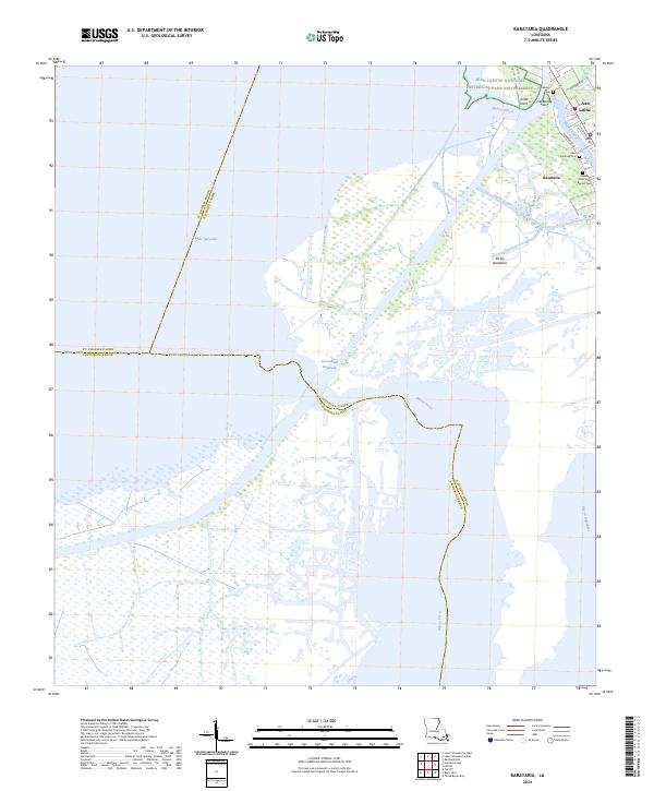
1962 Barataria
Jefferson Parish, LA
1973 Barataria
Jefferson Parish, LA
2012 Barataria
Jefferson Parish, LA
2015 Barataria
Jefferson Parish, LA
2018 Barataria
Jefferson Parish, LA
2020 Barataria
Jefferson Parish, LA
2024 Barataria
Jefferson Parish, LA