
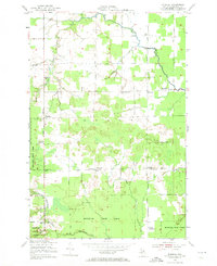
1951 Map of Barbeau
USGS Topo · Published 1956About this map
The Michigan Meridian serves as a primary north-south anchor for this 1951 survey of the Eastern Upper Peninsula, where the landscape is defined by the transitioning border between township agricultural land and the Munuscong State Forest. The community of Barbeau stands near the eastern edge, supported by the Barbeau Sch and the Barbeau Tower, while the interior features a network of rural schoolhouses and small settlements such as McCarron and Corktown.
Find a feature on this map
29 named features on this map. Tap any name to fly to it.
Don’t see what you’re looking for? This feature index may not catch every label — zoom into the map to look around manually.
Map Details
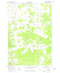
Editions of this 1951 Barbeau Map
3 editions found
Other maps of this area

1913 · Sault Sainte Marie
USGS Topo · 1:62,500

1919 · Neebish
USGS Topo · 1:62,500

1941 · Neebish
USGS Topo · 1:63,360

1941 · Sault Sainte Marie
USGS Topo · 1:63,360

1951 · Shallows
USGS Topo · 1:24,000

1951 · Dafter
USGS Topo · 1:24,000

1951 · Baie De Wasai
USGS Topo · 1:24,000

1951 · Oak Ridge
USGS Topo · 1:24,000

1951 · Sault Ste. Marie
USGS Topo · 1:62,500

1951 · Sault Ste. Marie South
USGS Topo · 1:24,000