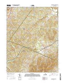
2016 Map of Barboursville
USGS Topo · Published 2016About this map
Barboursville and Ruckersville anchor this 2016 survey of central Virginia, where the Piedmont landscape is defined by its small crossroads settlements and family burial grounds. The map documents numerous local cemeteries including Ruckersville Cem, Eheart Cem, and Knights Chapel Cem, alongside family markers like Thomas Cem and Goss Cem. These sites, often located near rural churches such as Mount Lebanon, provide essential reference points for genealogists tracing regional lineages.
Find a feature on this map
125 named features on this map. Tap any name to fly to it.
Don’t see what you’re looking for? This feature index may not catch every label — zoom into the map to look around manually.
Map Details
Editions of this 2016 Barboursville Map
This is the sole edition of this map. No revisions or reprints were ever made.
Other maps of this area

1892 · Gordonsville
USGS Topo · 1:125,000

1930 · Madison
USGS Topo · 1:48,000

1933 · Madison
USGS Topo · 1:62,500

1935 · Charlottesville
USGS Topo · 1:62,500

1939 · Charlottesville
USGS Topo · 1:62,500

1949 · Charlottesville
USGS Topo · 1:250,000

1949 · Charlottesville
USGS Topo · 1:62,500

1956 · Charlottesville
USGS Topo · 1:250,000

1961 · Gordonsville
USGS Topo · 1:62,500

1961 · Rapidan
USGS Topo · 1:62,500