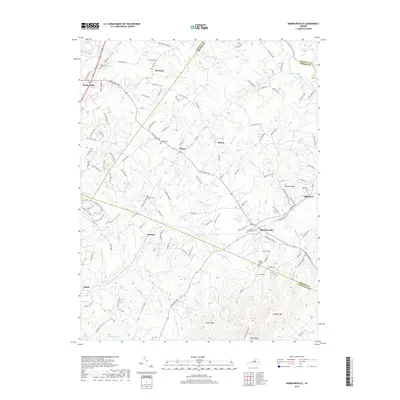
2019 Map of Barboursville
USGS Topo · Published 2019About this map
Barboursville and Ruckersville anchor this 2019 survey, illustrating the persistence of rural settlements at the intersection of the Piedmont and the foothills of the Blue Ridge. The landscape is defined by its ridge-and-hollow topography, where peaks like Peters Mtn and Hardwick Mtn overlook a dense network of watercourses, including the Rapidan River and Blue Run. For genealogists and local historians, the map is particularly valuable for its documentation of family and community burial sites, ranging from the Knights Chapel Cem and Mount Lebanon Cem to smaller plots such as Johns Cem and Goss Cem. Small clusters such as Tibbstown, Burnley, and Albano are clearly marked, showing the distribution of legacy homesteads and rural crossroads. The alignment of Spotswood Trl and Seminole Trl provides a clear view of the primary transportation corridors that have shaped the development of this region of Greene Co and Orange Co.
Find a feature on this map
131 named features on this map. Tap any name to fly to it.
Don’t see what you’re looking for? This feature index may not catch every label — zoom into the map to look around manually.
Map Details
Editions of this 2019 Barboursville Map
This is the sole edition of this map. No revisions or reprints were ever made.
Other maps of this area

1892 · Gordonsville
USGS Topo · 1:125,000

1930 · Madison
USGS Topo · 1:48,000

1933 · Madison
USGS Topo · 1:62,500

1935 · Charlottesville
USGS Topo · 1:62,500

1939 · Charlottesville
USGS Topo · 1:62,500

1949 · Charlottesville
USGS Topo · 1:250,000

1949 · Charlottesville
USGS Topo · 1:62,500

1956 · Charlottesville
USGS Topo · 1:250,000

1961 · Gordonsville
USGS Topo · 1:62,500

1961 · Rapidan
USGS Topo · 1:62,500