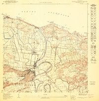
1950 Map of Barceloneta NE
USGS Topo · Published 1950About this map
The Río Grande De Manatí winds through a landscape defined by sugar production and coastal settlements at the midpoint of the 20th century. At the heart of this region is the industrial hub of Central Plazuela, linked to the larger transportation network by the American RR and the Central Plazuela roadway. The map reveals the intricate drainage patterns of the coastal plain, with the Caño Matos and Caño Salado feeding into the main river as it reaches the Océano Atlántico near La Boca.
Find a feature on this map
20 named features on this map. Tap any name to fly to it.
Don’t see what you’re looking for? This feature index may not catch every label — zoom into the map to look around manually.
Map Details
Editions of this 1950 Barceloneta NE Map
This is the sole edition of this map. No revisions or reprints were ever made.
Other maps of this area

1942 · Manati
USGS Topo · 1:30,000

1942 · Barceloneta
USGS Topo · 1:30,000

1946 · Barceloneta
USGS Topo · 1:30,000

1946 · Manati
USGS Topo · 1:30,000
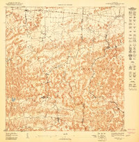
1947 · Barceloneta SO
USGS Topo · 1:10,000
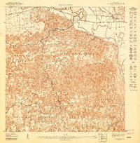
1947 · Barceloneta SE
USGS Topo · 1:10,000
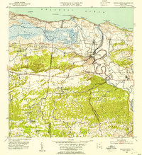
1953 · Barceloneta
USGS Topo · 1:30,000
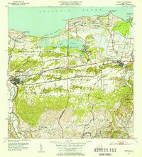
1953 · Manati
USGS Topo · 1:30,000
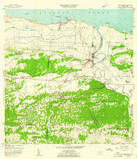
1957 · Barceloneta
USGS Topo · 1:20,000
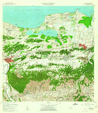
1958 · Manati
USGS Topo · 1:20,000
Featured Places
- Barceloneta
- Sector Fortuna, Barceloneta
- Parcelas Boca, Barceloneta
- Sector Cerro Morales, Barceloneta
- Punta Palmas, Barceloneta