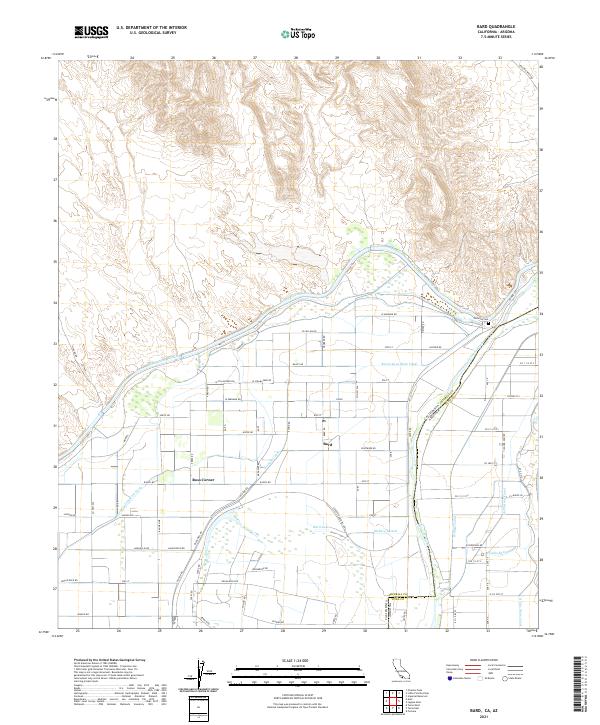
2021 Map of Bard
USGS Topo · Published 2021About this map
The Colorado River defines the border between California and Arizona in this 2021 study, where the landscape is intricately shaped by a massive network of irrigation and water management infrastructure. The All-American Canal cuts across the northern desert terrain, feeding a grid of secondary waterways including the Reservation Main Canal, Cocopah Canal, and Mohave-Lateral. These features support the agricultural settlements of Bard and Ross Corner, which are situated within a strictly surveyed grid of county roads such as W Stalnacker Rd and Levee Rd.
Find a feature on this map
84 named features on this map. Tap any name to fly to it.
Don’t see what you’re looking for? This feature index may not catch every label — zoom into the map to look around manually.
Map Details
Editions of this 2021 Bard Map
This is the sole edition of this map. No revisions or reprints were ever made.
Other maps of this area

1903 · Yuma
USGS Topo · 1:125,000

1905 · Yuma
USGS Topo · 1:125,000

1926 · Fortuna
USGS Topo · 1:62,500

1929 · Fortuna
USGS Topo · 1:62,500

1929 · Laguna
USGS Topo · 1:62,500

1940 · Yuma
USGS Topo · 1:62,500

1942 · Yuma
USGS Topo · 1:250,000

1943 · Laguna
USGS Topo · 1:62,500

1945 · Picacho Peak
USGS Topo · 1:62,500

1945 · Yuma
USGS Topo · 1:62,500